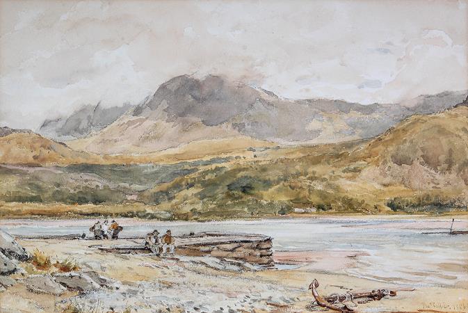
Cader Idris. Cadair Idris or Cader Idris is a mountain in Gwynedd, Wales, which lies at the southern end of the Snowdonia National Park near the town of Dolgellau. The peak, which is one of the most popular in Wales for walkers and hikers, is composed largely of Ordovician igneous rocks, with classic glacial erosion features such as cwms, moraines, striated rocks, and roches moutonnées. Cadair Idris means Idris's Chair. Idris is usually taken to be the name of a giant or, alternatively, it may refer to Idris ap Gwyddno, a 7th-century prince of Meirionnydd who won a battle against the Irish on the mountain. Idris ap Gwyddno was in fact referred to as Idris Gawr in some mediaeval genealogies of Meirionydd. The basic meaning of the word cadair is seat, chair. In place names cadair can mean stronghold, fort, fortress or mountain or hill shaped like a chair. The spelling cader represents a spoken variant of the standard form cadair. It appears that Cadair/Cadeir Idris is the form used in the earliest Welsh-language sources. In a poem in his own hand in the second half of the 15th century, the poet Lewys Glyn Cothi wrote Dros gadair idris gedy. Around 1600, John Jones of Gellilyfdy referred to y mynydh neu bhan neu bhoel a elwir Cadeir Idris'. The spoken form represented by cader had developed by the end of the Middle Ages and as a result the form Cader Idris was often used in English and Latin documents at that time and in more recent documents in English and Welsh. In his Dictionarum Duplex published in 1632, John Davies of Mallwyd differentiated between the two words cadair and cader, referring to 'Cader Idris' and 'Cader Ddinmael'. That interpretation was followed by some later lexicographers, including Thomas Charles and Titus Lewis. It is now accepted, however, that cader is a spelling of a spoken form of cadair, and that there is no evidence that cadair and cader are separate words. But as it represents the pronunciation in the local dialect, the spelling Cader Idris is often seen in Welsh and English, and in June 2016 Snowdonia National Park decided to adopt that spelling on its signage, despite advice from the Welsh Language Commissioner and from Park officers, who favoured 'Cadair'. The local dialect form is also seen in the name of the local secondary school, Ysgol y Gader. The name of the mountain is typically spelt Cadair Idris on current maps. The summit of the mountain is known as Penygader. There are three main trails that lead to the top of Cadair Idris. The summit, which is covered in scree, is marked by a trig point. There is also a low-standing stone shelter with a roof. The Pony Path, which begins in the north from either Dolgellau or the Mawddach estuary, is the easiest but the longest of the main trails. Its length from the mountain's base is 6 kilometres with a 727-metre climb. The Fox's Path,This is the most direct way to the summit as the trail leads straight up the northern face. The 3.8-kilometre ascent involves a climb up a 310-metre cliff-scree face. However, this part of the Fox's Path has been heavily eroded in recent years making the descent dangerous. The Minffordd Path starts on the southern side of the mountain near the glacial Tal-y-llyn Lake. Hikers using this ascent climb past Llyn Cau and along the rim of Craig Cau to Penygadair. Its length is 4.4 kilometres and involves two climbs of over 300 metres. The crater-like shape of Llyn Cau has given rise to the occasional mistaken claim that Cadair Idris is an extinct volcano. This theory was discounted as early as 1872, when Charles Kingsley commented in his book Town Geology: I have been told, for instance, that that wonderful little blue Glas Llyn, under the highest cliff of Snowdon, is the old crater of the mountain; and I have heard people insist that a similar lake, of almost equal grandeur, in the south side of Cader Idris, is a crater likewise. But the fact is not so. The natural bowl-shaped depression was formed by a cirque glacier during the last ice age when snow and ice accumulated in the corries due to avalanches on higher slopes. In these depressions, snow persisted through summer months, and becomes glacial ice. The cirque was up to a square kilometre in size surrounded on three sides by steep cliffs. The highest cliff was the headwall. The fourth side was the lip from which the glacier flowed away from the cirque. Over thousands of years ice flowed out through the bowl's opening carving the chair of Cadair Idris. As the glacier eroded the lip down to the bedrock, there are several tear-drop shaped hills above the edge of Llyn Cau.