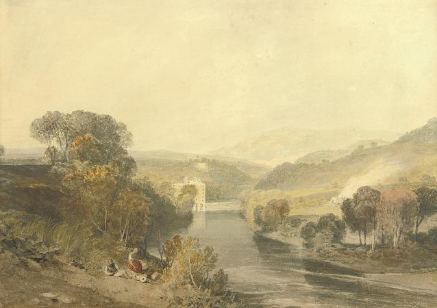
River Wharfe. The River Wharfe is a river in Yorkshire, England.
For much of its length it is the county boundary between West Yorkshire and North Yorkshire. Its valley is known as Wharfedale.
The river source is at Beckermonds in Langstrothdale in the Yorkshire Dales National Park and flows through Kettlewell, Grassington, Bolton Abbey, Addingham, Ilkley, Burley-in-Wharfedale, Otley, Wetherby and Tadcaster. It then flows into the River Ouse near Cawood.
The section of the river from its source to around Addingham is in Upper Wharfedale and has a very different character to the river downstream. The Wharfe is 65 miles long before it joins the Ouse making it the 21st longest river in Britain.
It is a public navigation from the weir at Tadcaster to its junction with the Ouse near Cawood and is tidal from Ulleskelf to the Ouse. The river source is the confluence of Oughtershaw Beck and Green Field Beck in Langstrothdale near Beckermonds. It flows east and south-east taking the flows from many small streams, whose sources are the sink holes from Yockenthwaite Moor on the north bank and Horse Head Moor on the south bank. After Hubberholme, the river flows south past Buckden and Starbotton and then south-east past Kettlewell before flowing south again. Near Conistone are the gentle waterfalls of Scar Lash. Near Grassington, the river turns south-east over Linton Falls. South of Appletreewick, the
Wikipedia ...