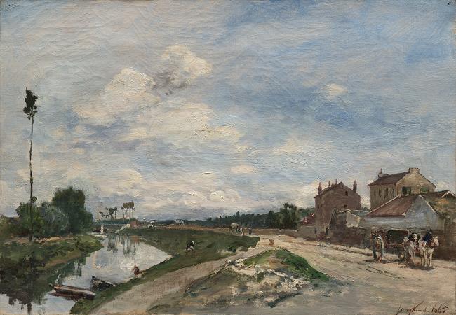
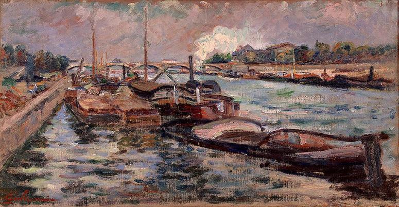
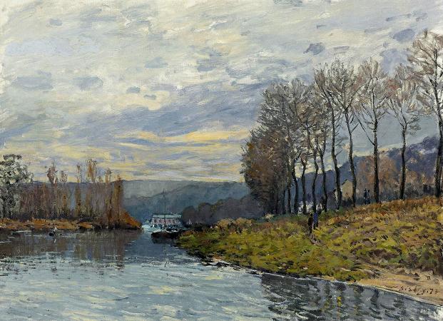
River Seine. The Seine is a 777-kilometre-long river and an important commercial waterway within the Paris Basin in the north of France. It rises at Source-Seine, 30 kilometres northwest of Dijon in northeastern France in the Langres plateau, flowing through Paris and into the English Channel at Le Havre. It is navigable by ocean-going vessels as far as Rouen, 120 kilometres from the sea. Over 60 percent of its length, as far as Burgundy, is negotiable by commercial riverboats, and nearly its whole length is available for recreational boating; excursion boats offer sightseeing tours of the river banks in Paris, lined with top monuments including Notre-Dame, the Eiffel Tower, the Louvre Museum and Musée d'Orsay. There are 37 bridges within Paris and dozens more spanning the river outside the city. Examples in Paris include the Pont Alexandre III and Pont Neuf, the latter of which dates back to 1607. Outside the city, examples include the Pont de Normandie, one of the longest cable-stayed bridges in the world, which links Le Havre to Honfleur. The Seine rises in the commune of Source-Seine, about 30 kilometres northwest of Dijon.The source has been owned by the city of Paris since 1864. A number of closely associated small ditches or depressions provide the source waters, with an artificial grotto laid out to highlight and contain a deemed main source. The grotto includes a statue of a nymph, a dog, and a dragon. On the same site are the buried remains of a Gallo-Roman temple. Small statues of the dea Sequana Seine goddess and other ex voti found at the same place are now exhibited in the Dijon archaeological museum. The Seine can artificially be divided into five parts: the Petite Seine Small Seine from the sources to Montereau-Fault-Yonne. the Haute Seine Upper Seine from Montereau-Fault-Yonne to Paris. the Traversée de Paris the Paris waterway. the Basse Seine Lower Seine from Paris to Rouen. the Seine maritime Maritime Seine from Rouen to the English channel. The Seine is dredged and ocean-going vessels can dock at Rouen, 120 kilometres from the sea. Commercial craft can use the river from Marcilly-sur-Seine, 516 kilometres to its mouth. At Paris, there are 37 bridges. The river is only 24 metres above sea level 446 kilometres from its mouth, making it slow flowing and thus easily navigable. The Seine Maritime, 123 kilometres from the English Channel at Le Havre to Rouen, is the only portion of the Seine used by ocean-going craft. The tidal section of the Seine Maritime is followed by a canalized section with four large multiple locks until the mouth of the Oise at Conflans-Sainte-Honorine. Smaller locks at Bougival and at Suresnes lift the vessels to the level of the river in Paris, where the junction with the Canal Saint-Martin is located. The distance from the mouth of the Oise is 72 km. The Haute Seine, from Paris to Montereau-Fault-Yonne, is 98 km long and has 8 locks. At Charenton-le-Pont is the mouth of the Marne. Upstream from Paris seven locks ensure navigation to Saint Mammès, where the Loing mouth is situated. Through an eighth lock the river Yonne is reached at Montereau-Fault-Yonne. From the mouth of the Yonne, larger ships can continue upstream to Nogent-sur-Seine. From there on, the river is navigable only by small craft to Marcilly-sur-Seine. At Marcilly-sur-Seine the ancient Canal de la Haute-Seine used to allow vessels to continue all the way to Troyes. This canal has been abandoned since 1957. The average depth of the Seine today at Paris is about 9.5 metres. Until locks were installed to raise the level in the 1800s, the river was much shallower within the city most of the time, and consisted of a small channel of continuous flow bordered by sandy banks. Today the depth is tightly controlled and the entire width of the river between the built-up banks on either side is normally filled with water. The average flow of the river is very low, only a few cubic metres per second, but much higher flows are possible during periods of heavy runoff. Four large storage reservoirs have been built since 1950 on the Seine as well as its tributaries Yonne, Marne, and Aube. These help in maintaining a constant level for the river through the city, but cannot prevent significant increases in river level during periods of extreme runoff. The dams are Lac d'Orient, Lac des Settons, Lake Der-Chantecoq, and Auzon-Temple and Amance, respectively. A very severe period of high water in January 1910 resulted in extensive flooding throughout the city. The Seine again rose to threatening levels in 1924, 1955, 1982, 1999-2000, June 2016, and January 2018.
more...


