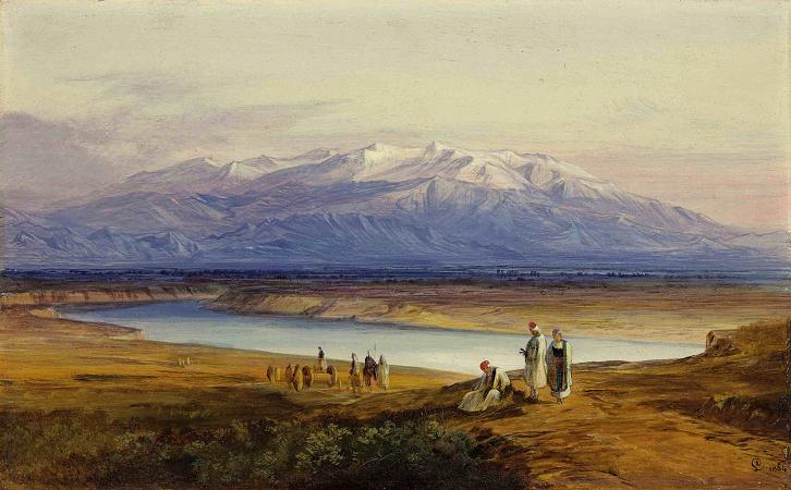
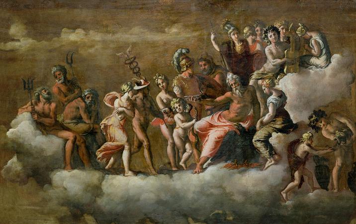
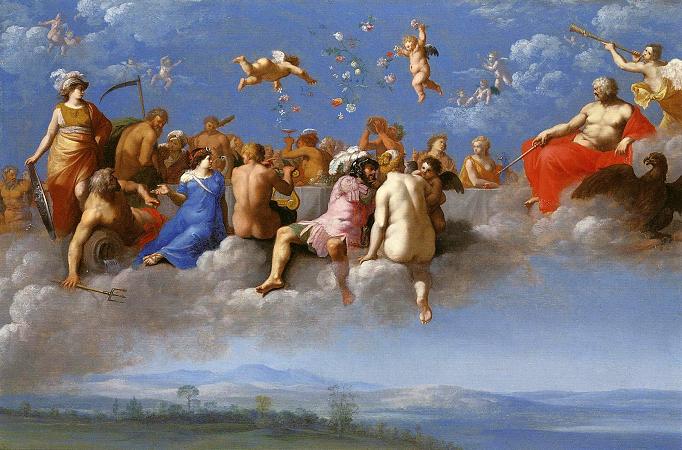
Mount Olympus. Mount Olympus is the highest mountain in Greece. It is located in the Olympus Range on the border between Thessaly and Macedonia, between the regional units of Pieria and Larissa, about 80 km southwest from Thessaloniki. Mount Olympus has 52 peaks and deep gorges. The highest peak, Mytikas, meaning nose, rises to 2,917 metres. It is one of the highest peaks in Europe in terms of topographic prominence. Olympus is notable in Greek mythology as the home of the Greek gods, on Mytikas peak. It is also noted for its exceptional biodiversity and rich flora. It has been a National Park, the first in Greece, since 1938. It is also a World Biosphere Reserve. Every year, thousands of visitors admire its fauna and flora, tour its slopes, and climb its peaks. Organized mountain refuges and various mountaineering and climbing routes are available. The usual starting point for climbing Olympus is the town of Litochoro, on the eastern foothills of the mountain, 100 km from Thessaloniki. The shape of Olympus was formed by rain and wind, which produced an isolated tower almost 3,000 metres above the sea, which is only 18 kilometres away at Litochoro. Olympus has many peaks and an almost circular shape. The mountain has a circumference of 150 kilometres, an average diameter of 26 kilometres, and 500 square kilometres of area. To the northwest lies the Vlach village of Kokkinoplou. The Makryrema stream separates Olympus from the massif of Voulgara. The villages Petra, Vrontou and Dion lie to the northwest, while on the eastern side there is the town of Litochoro, where Enipeas bisects the massif of Olympus. On its southeastern side, the Ziliana gorge divides Mount Olympus from Kato Olympos, while on its southwestern foothills, there are the villages Sykaminea and Karya. The Agia Triada Sparmou Monastery and the village Pythion lie to the west. Olympus' dry foothills, known as the Xirokampi, are covered in chaparral and provides habitat for animals such as wild boar. Further east, the plain of Dion is fertile and watered by the streams which originate on Olympus. Mount Olympus is formed of sedimentary rock laid down 200 million years ago in a shallow sea. Various geological events that followed caused the emergence of the whole region and the sea. Around one million years ago glaciers covered Olympus and created its plateaus and depressions. With the temperature rise that followed, the ice melted and the streams that were created swept away large quantities of crushed rock in the lowest places, forming the alluvial fans, that spread out all over the region from the foothills of the mountain to the sea. The Geological Museum of Mount Olympus, located in Leptokarya, provides detailed information about the geological structure of the mountain. The complicated geological past of the region is obvious from the morphology of Olympus and its National Park. Features include deep gorges and dozens of smooth peaks, many of them in altitude of more than 2,000 metres, including Aghios Antonios, Kalogeros, Toumpa and Profitis Ilias. However, it is the central, almost vertical, rocky peaks, that impress the visitor. Over the town of Litochoro, on the horizon, the relief of the mountain displays an apparent V, between two peaks of almost equal height. The left limb is the peak named Mytikas. It is Greece's highest peak. Then, on the right is Stefani, which presents the most impressive and steep peak of Olympus, with its last sharply rising 200 meters presenting the greatest challenge for climbers. Further south, Skolio completes an arc of about 200 degrees, with its steep slopes forming on the west side, like a wall, an impressive precipitous amphitheatrical cavity, 700 metres in depth and 1,000 metres in circumference, the 'Megala Kazania'. On the east side of the high peaks the steep slopes form zone like parallel folds, the 'Zonaria'. Even narrower and steeper scorings, the 'Loukia', lead to the peak. n the north side, between Stefani and Profitis Ilias, extends the Muses' Plateau, at 2,550 metres, while further south, almost in the center of the massif, extends the alpine tundra region of Bara, at an altitude of 2,350 metres. Olympus has numerous ravines and gullies. Most distinguishable of the ravines are those of Mavrologos-Enipeas and Mavratzas-Sparmos near Bara and 'cut' the massif in two oval portions. On the southern foothills the great gorge of Ziliana, 13 km long, consists of a natural limit that separates the mountain from Lower Olympus. There are also many precipices and a number of caves, even nowadays unexplored.