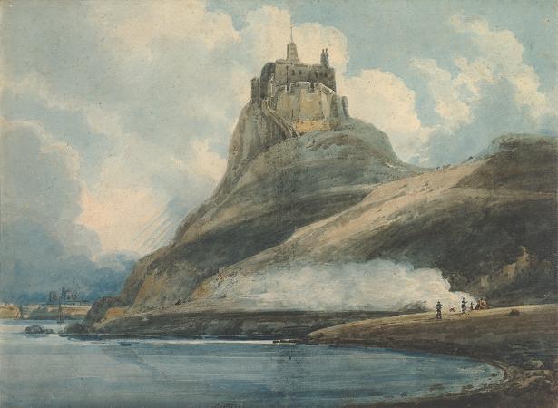
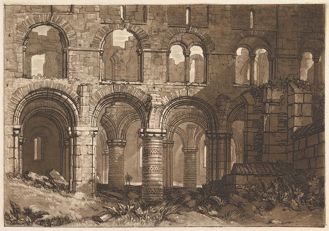
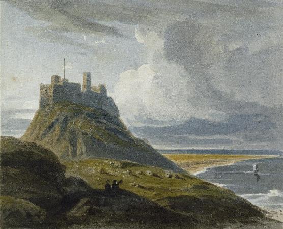
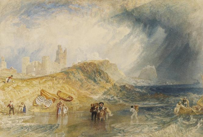
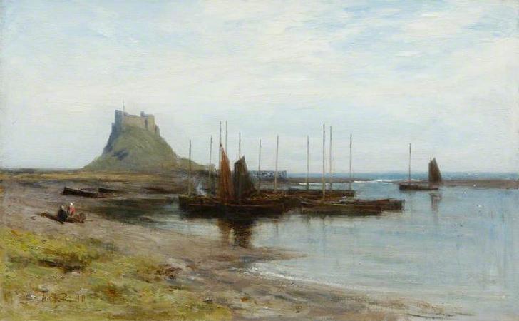
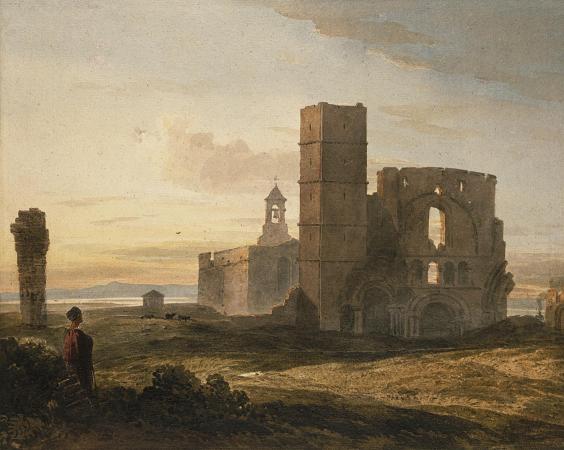
Lindisfarne. The Holy Island of Lindisfarne, also known simply as Holy Island, is a tidal island off the northeast coast of England, which constitutes the civil parish of Holy Island in Northumberland. Holy Island has a recorded history from the 6th century AD; it was an important centre of Celtic Christianity under Saints Aidan of Lindisfarne, Cuthbert, Eadfrith of Lindisfarne and Eadberht of Lindisfarne. After the Viking invasions and the Norman conquest of England, a priory was reestablished. A small castle was built on the island in 1550. The island of Lindisfarne appears under the Old Welsh name Medcaut in the 9th century Historia Brittonum. Following up on a suggestion by Richard Coates, Andrew Breeze proposes that the name ultimately derives from Latin Medicata, owing perhaps to the island's reputation for medicinal herbs. Both the Parker Chronicle and Peterborough Chronicle annals of AD 793 record the Old English name, Lindisfarena. The soubriquet Holy Island was in use by the 11th century when it appears in Latin as Insula Sacra. The reference was to Saints Aidan and Cuthbert. The name Lindisfarne has an uncertain origin. The-farne part may be Old English-fearena meaning traveller. The first part, Lindis-, may refer to people from the Kingdom of Lindsey in modern Lincolnshire, referring to either regular visitors or settlers. Another possibility is that Lindisfarne is Brittonic in origin, containing the element Lind-meaning stream or pool, with the nominal morpheme-as and an unknown element identical to that in the Farne Islands. Further suggested is that the name may be a wholly Irish formation, from corresponding *lind-is-, plus-fearann meaning land, domain, territory. Such an Irish formation, however, could have been based on a pre-existing Brittonic name. There is also a supposition that the nearby Farne Islands are fern like in shape and the name may have come from there. The island measures 3 miles from east to west and miles from north to south, and comprises approximately 1,000 acres at high tide. The nearest point of the island is about 1 mile from the mainland of England. The island of Lindisfarne is located along the northeast coast of England, close to the border with Scotland. It is accessible, most times, at low tide by crossing sand and mudflats which are covered with water at high tides. These sand and mud flats carry an ancient pilgrims' path, and in more recent times, a modern causeway. Lindisfarne is surrounded by the 8,750-acre Lindisfarne National Nature Reserve, which protects the island's sand dunes and the adjacent intertidal habitats. As of 27 March 2011, the island had a population of 180. Warning signs urge visitors walking to the island to keep to the marked path, to check tide times and weather carefully, and to seek local advice if in doubt. For drivers, tide tables are prominently displayed at both ends of the causeway and also where the Holy Island road leaves the A1 Great North Road at Beal. The causeway is generally open from about three hours after high tide until two hours before the next high tide, but the period of closure may be extended during stormy weather. Tide tables giving the safe crossing periods are published by Northumberland County council. Despite these warnings, about one vehicle each month is stranded on the causeway, requiring rescue by HM Coastguard and/or Seahouses RNLI lifeboat. A sea rescue costs approximately E1,900, while an air rescue costs more than E4,000. Local people have opposed a causeway barrier primarily on convenience grounds. Trinity House operates two lighthouses to guide vessels entering Holy Island Harbour, named Guile Point East and Heugh Hill. The former is one of a pair of stone obelisks standing on a small tidal island on the other side of the channel. The obelisks are leading marks which, when aligned, indicate the safe channel over the bar. When Heugh Hill bears 310° the bar is cleared and there is a clear run into the harbour. Since the early 1990s, a sector light has been fixed to it about one-third of the way up Guile Point East. The latter is a metal framework tower with a black triangular day mark, situated on a ridge on the south edge of Lindisfarne. Before November 1995 both were owned/operated by Newcastle-upon-Tyne Trinity House. Nearby is a former coastguard station. An adjacent ruin is known as the Lantern Chapel; its origin is unknown, but the name may indicate an earlier navigation light on this site.