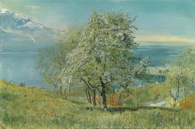
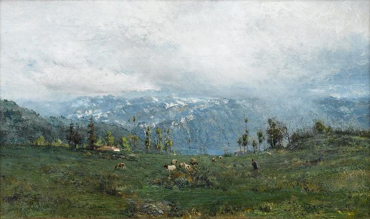
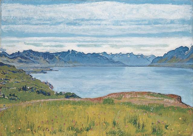
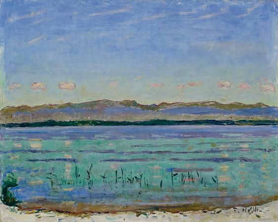
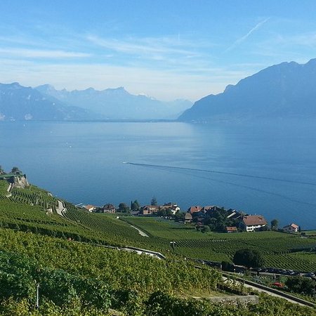
Lake Geneva. Lake Geneva is a lake on the north side of the Alps, shared between Switzerland and France. It is one of the largest lakes in Western Europe and the largest on the course of the RhŰne. Of it 59.53% comes under the jurisdiction of Switzerland, and 40.47% under France. The first recorded name of the lake is Lacus Lemannus, dating from Roman times; Lemannus comes from Ancient Greek Limťnos LŪmne meaning port's lake; it became Lacus Lausonius, although this name was also used for a town or district on the lake, Lacus Losanetes, and then the Lac de Lausanne in the Middle Ages. Following the rise of Geneva it became Lac de GenŤve. In the 18th century, Lac Lťman was revived in French and is the customary name in that language. In contemporary English, the name Lake Geneva is predominant. Lake Geneva is divided into three parts because of its different types of formation: Haut Lac, the eastern part from the RhŰne estuary to the line of Meillerie-Rivaz. Grand Lac, the largest and deepest basin with the lake's largest width. Petit Lac, the most south-west, narrower and less deep part from Yvoire-Promenthoux next Prangins to the exit in Geneva. According to the Swiss Federal Office of Topography, swisstopo, Lac de GenŤve designates that part of the Petit Lac, which lies within the cantonal borders of Geneva, so about from Versoix-Hermance to the RhŰne outflow in Geneva. The Chablais Alps border is its southern shore, the western Bernese Alps lie over its eastern side. The high summits of Grand Combin and Mont Blanc are visible from some places. Compagnie Gťnťrale de Navigation sur le lac Lťman operates boats on the lake. The lake lies on the course of the RhŰne. The river has its source at the RhŰne Glacier near the Grimsel Pass to the east of the lake and flows down through the canton of Valais, entering the lake between Villeneuve and Le Bouveret, before flowing slowly towards its egress at Geneva. Other tributaries are La Dranse, L'Aubonne, La Morges, La Venoge, La VuachŤre, and La Veveyse. Lake Geneva is the largest body of water in Switzerland, and greatly exceeds in size all others that are connected with the main valleys of the Alps. It is in the shape of a crescent, with the horns pointing south, the northern shore being 95 km, the southern shore 72 km in length. The crescent form was more regular in a recent geological period, when the lake extended to Bex, about 18 km south of Villeneuve. The detritus of the RhŰne has filled up this portion of the bed of the lake, and it appears that within the historical period the waters extended about 2 km beyond the present eastern margin of the lake. The greatest depth of the lake, in the broad portion between …vian-les-Bains and Lausanne, where it is just 13 km in width, has been measured as 310 m, putting the bottom of the lake at 62 m above sea level. The lake's surface is the lowest point of the cantons of Valais and Vaud. The culminating point of the lake's drainage basin is Monte Rosa at 4,634 metres above sea level. The beauty of the shores of the lake and of the sites of many of the places near its banks has long been celebrated. However, it is only from the eastern end of the lake, between Vevey and Villeneuve, that the scenery assumes an Alpine character. On the south side the mountains of Savoy and Valais are for the most part rugged and sombre, while those of the northern shore fall in gentle vine-covered slopes, thickly set with villages and castles. The snowy peaks of the Mont Blanc are shut out from the western end of the lake by the Voirons mountain, and from its eastern end by the bolder summits of the Grammont, Cornettes de Bise and Dent d'Oche, but are seen from Geneva, and between Nyon and Morges. From Vevey to Bex, where the lake originally extended, the shores are enclosed by comparatively high and bold mountains, and the vista terminates in the grand portal of the defile of St. Maurice, cleft to a depth of nearly 2,700 m between the opposite peaks of the Dents du Midi and the Dent de Morcles. The shore between Nyon and Lausanne is called La CŰte because it is flatter. Between Lausanne and Vevey it is called Lavaux and is famous for its hilly vineyards. The average surface elevation of 372 m above sea level is controlled by the Seujet Dam in Geneva.