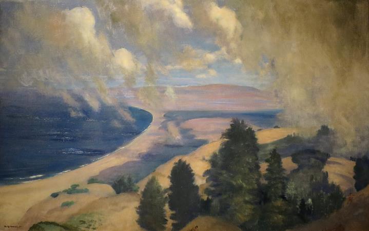
Mount Tamalpais. Mount Tamalpais, known locally as Mount Tam, is a peak in Marin County, California, United States, often considered symbolic of Marin County. Much of Mount Tamalpais is protected within public lands such as Mount Tamalpais State Park, the Marin Municipal Water District watershed, and National Park Service land, such as Muir Woods. The name Tamalpais was first recorded in 1845. It comes from the Coast Miwok name for this mountain, támal pájiá¹£, meaning west hill. Various different folk etymologies also exist, but they are unsubstantiated. One holds that it comes from the Spanish Tamal país, meaning Tamal country, Tamal being the name that the Spanish missionaries gave to the Coast Miwok people. Another holds that the name is the Coast Miwok word for sleeping maiden and is taken from a Legend of the Sleeping Maiden Supposedly, the legend is that the mountain's contour reflects the reclining profile of a young Miwok girl who was saved from a rival tribe by the shuddering of the mountain. However, this legend actually has no basis in Coast Miwok myth and is instead a piece of Victorian-era apocrypha. The Sleeping Lady story was the creation of playwright Dan Totheroh, who wrote the first play performed at Mt. Tamalpais' Mountain Theater about Tamelpa, the Mountain Queen. Another suggests a tie to the Eurasian origins of the Miwoks, where pais means place and tamal is a tribe in Siberia. Sunset behind Mount Tamalpais Mount Tamalpais is the highest peak in the Marin Hills, which are part of the Northern California Coast Ranges. The elevation at the West Peak, where a radar dome currently stands, is between 2,560 feet and 2,578 feet It stood over 2,600 feet before the summit was flattened for the radar dome construction. The East Peak is at 2,571 feet. The mountain is clearly visible from parts of San Francisco and the East Bay. The majority of the mountain is contained in protected public lands, including Mount Tamalpais State Park, Muir Woods National Monument, and the Mount Tamalpais Watershed. It adjoins the Golden Gate National Recreation Area as well as several Marin County Open Space Preserves. This provides nearly 40 miles of continuous publicly accessible open space. Some of the lower slopes of Mount Tamalpais fall within several cities and unincorporated communities of Marin County, including Mill Valley, Tamalpais-Homestead Valley, Stinson Beach, and Kentfield. These areas are generally developed, consisting of mostly low-density single-family homes. The north side of Mount Tamalpais Looking down at Richardson Bay over 2,300 feet below Geology and soils Like the rest of the California Coast Ranges, Mount Tamalpais is the result of uplift, buckling, and folding of the North American Plate as it slides along the Pacific Plate near the San Andreas Fault zone. In 2004, a team of Penn State geoscientists suggested that a blind thrust fault, like the one that caused the infamous Northridge earthquake, lies beneath Mount Tamalpais. This idea was partly based on the steepness of Mount Tamalpais and of nearby Bolinas Ridge, such steepness on the visible surface often being the result of blind thrust faults. Another reason for the suggestion was that the San Andreas Fault creeps more slowly south of Mount Tamalpais than it does in its sections north of Mount Tamalpais and in the Olema Valley, and that the existence of a blind thrust fault may explain the different creeping velocities. If a blind thrust fault does exist under Mount Tamalpais, and if it ruptures, it could be potentially devastating to the North Bay, San Francisco, and any other nearby locale resting on unstable earth and loose fill. Major Mount Tamalpais rockforms include serpentine, particularly evident in outcroppings near the summit and on the north side. A number of serpentine endemic plants grow in the serpentine soils in this part of the mountain.
more...


