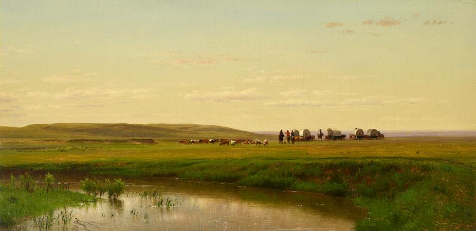
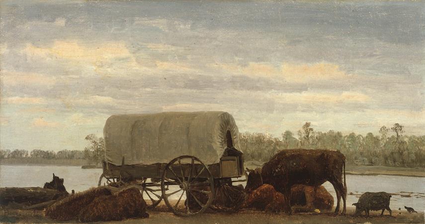
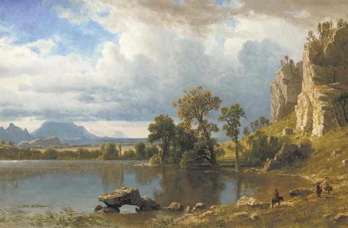
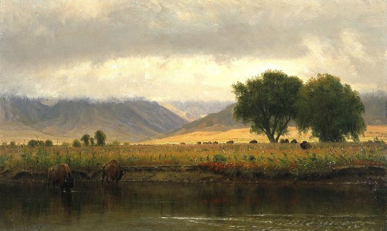
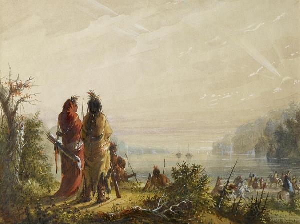
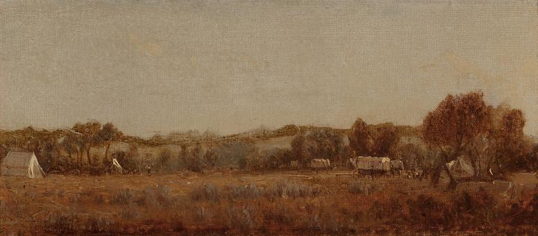
Platte River. The Platte River is a major river in the State of Nebraska. It is about 310 mi long; measured to its farthest source via its tributary, the North Platte River, it flows for over 1,050 miles. The Platte River is a tributary of the Missouri River, which itself is a tributary of the Mississippi River which flows to the Gulf of Mexico. The Platte over most of its length is a broad, shallow, meandering stream with a sandy bottom and many islands, a braided stream. The Platte is one of the most significant tributary systems in the watershed of the Missouri, draining a large portion of the central Great Plains in Nebraska and the eastern Rocky Mountains in Colorado and Wyoming. The river valley played an important role in the westward expansion of the United States, providing the route for several major emigrant trails, including the Oregon, California, Mormon and Bozeman trails. The first Europeans to see the Platte were French explorers and fur trappers about 1714; they first called it the Nebraskier, a transliteration of the name given by the Otoe people, meaning flat water. This expression is very close to the French words rivi�re plate, the probable origin of the name Platte River. The Platte River is formed in western Nebraska east of the city of North Platte, Nebraska by the confluence of the North Platte and the South Platte Rivers, which both arise from snowmelt in the eastern Rockies east of the Continental Divide. In central north Colorado is the North Park valley, ringed by mountains of 12,000 feet height; this is where the North Platte River originates. The head of the North Platte River is essentially all of Jackson County; its boundaries are the continental divide on the west and south and the mountain drainage peaks on the east, the north boundary is the state of Wyoming. The nearest Colorado town is Walden, the county seat. The rugged Rocky Mountains Continental Divide surrounding Jackson County have at least twelve peaks over 11,000 feet in height. From Jackson County, the North Platte flows north about 200 miles out of the Routt National Forest and North Park near what is now Walden to Casper, Wyoming. Shortly after passing Casper, the North Platte turns to the east-southeast and flows about 350 miles to the city of North Platte, Nebraska. In Colorado and Wyoming, the North Platte is narrower and much swifter flowing than it is in Nebraska, where it becomes a slow flowing, shallow braided stream. Platte River watershed with tributaries The North Platte River has been dammed about eight times for water storage and irrigation purposes in Wyoming and Nebraska as it flows to its confluence with the South Platte River. The upper reaches of the river in the Rockies in Colorado and Wyoming are popular for recreation rafting and lure and fly fishing for rainbow, brown, cutthroat trout and other sport fish. In western Nebraska, the banks and riverbed of the North Platte provide a green oasis amid an otherwise semi-arid region of North America. Today, by the time the North Platte reaches Paxton, Nebraska it is much smaller due to the extensive water taken from it for irrigation. Historically, the North Platte River was up to a mile wide in many places, as evidenced by the old streambed and historic written records. The South Platte River drainage includes about 28,000 square miles in the north east corner of Colorado, parts of southeastern Wyoming in the vicinity of the city of Cheyenne and a small part of the southwest corner of Nebraska. The South Platte drains a large part of the Front Range mountains east of the continental divide. The part of the river labeled the South Platte is formed in Park County, Colorado, located southwest of Denver, in the South Park grassland basin and mountains east of the continental divide. It is formed by the confluence of the South Fork South Platte River and Middle Fork South Platte River, approximately 15 miles southeast of Fairplay, Colorado. After the South and Middle fork join, the South Platte flows east-southeast till it exits Elevenmile Reservoir; it turns almost ninety degrees to skirt the west side of Pikes Peak and flows roughly east-northeast about 100 miles through Denver and on to Greeley, Colorado. From Greeley, the South Platte turns east and flows about 200 miles to its confluence with the North Platte River near the city of North Platte, Nebraska. The South Platte River has been dammed about 20 times for water storage, drinking water and irrigation purposes in Colorado as it flows to its confluence with the North Platte River. The total number of dams in the South Platte drainage may exceed 1,000 as nearly all major streams have at least one dam on them. The South Platte River serves as the principal source of water for arid eastern Colorado.