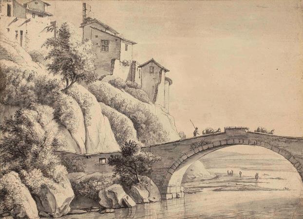
Francheville. Francheville is a French commune in the metropolis of Lyon in the Auvergne-Rhône-Alpes region. Francheville is a commune of 817 hectares, its highest point is the Fort du Bruissin at 308 meters; its lowest point is in the Châter district at 215 meters. The particular relief as well as the history explain that the commune is divided into three districts, geographically very distinct. The Châter district, at the entrance to the Francheville le Bas district, owes its name to the castle of which there are ruins that overlook the Yzeron valley. A rocky outcrop supports these feudal ruins as well as a bridge that spans the Yzeron Valley about 45 meters below. Houses with terraced gardens go down to the stream. Landslides and landslides having occurred on several occasions, the steep base of the Rock which runs along the D75 road has been the subject of consolidation work. It is a bottleneck for current car traffic. It was the sliding movements of the glaciers that structured the region during the Quaternary. There are rocky outcrops, glacial moraines, sedimentary strata, alluvial plains, with the appearance of valleys and streams including the Yzeron stream, the longest of the streams in West Lyon with its 25.1 km. The sands of Yzeron in Roman times were used for the construction mortar of the ancient theaters of Lyon and its region. Ammonites disappeared at the same time as the dinosaurs at the same time as the Cretaceous - Tertiary crisis, and they are found almost everywhere in France. They have often been included in works of art: a small bridge over the Yzeron, and on the Jacques Faure house in Francheville le Bas. Francheville is an urban commune because it is one of the dense or intermediate-density communes, within the meaning of the INSEE communal density grid. It belongs to the urban unit of Lyon, an inter-departmental agglomeration grouping 124 municipalities and 1,653,951 inhabitants in 2017, of which it is a municipality in the suburbs. The agglomeration of Lyon is the second largest in France in terms of population, behind that of Paris. In addition, the commune is part of the Lyon attraction area, of which it is a commune of the main pole. This area, which includes 398 municipalities, is categorized in areas with 700,000 inhabitants or more. The land use of the municipality, as it appears from the European biophysical land use database Corine Land Cover, is marked by the importance of artificialized territories, an increase compared to 1990. The detailed distribution in 2018 is as follows: urbanized areas, forests, heterogeneous agricultural areas, industrial or commercial areas and communication networks, artificial green spaces, non-agricultural, permanent crops. The IGN also provides an online tool to compare the evolution over time of land use in the municipality (or territories at different. Several periods are accessible in the form of maps or aerial photos: the Cassini map, the staff map and the current period. Francheville is historically the first suburb of Lyon. With the Roman civilization, franca villa, takes on a very particular importance. Indeed, the Roman roads, starting from Lugdunum, replace the tracks of the merchants. In Francheville, it is the Aquitaine route which crosses the central massif to reach the Atlantic coast. During the French Revolution, the town temporarily bears the name of Franche-Commune. Greater Lyon disappears onJanuary 1, 2015, and gives way to the territorial collectivity of the metropolis of Lyon. The town thus leaves the department of the Rhône .
more...


