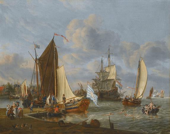
Hellevoetsluis. Hellevoetsluis is a small city and municipality in the western Netherlands.
It is located in Voorne-Putten, South Holland. The municipality covers an area of 61.20 km 2 of which 20.10 km 2 is water and it includes the population centres Nieuw-Helvoet, Nieuwenhoorn, and Oude en Nieuwe Struiten, all former municipalities.
Hellevoetsluis is located on the Haringvliet with the sea, beach, and dunes close by, on the extreme southern edge of the Rijnmond and Europoort areas, close to the broad Zeeland landscape. The name translates as lock at the foot of the Helle.
The Helle was a small local river that disappeared over time. The area has been settled since before Roman times and was concentrated around a body of water called theHelle, which was later Latinized by the Romans to Helinium and Helius.
The name Hel Voet, Helius' foot or the lowest point of Helius, appears in documents from the 13th century and later, such as in 1395, when the Nieuw-Helvoet Polder is issued for inspection. This polder had a drainage sluice in the southern dike: the Hellevoetse sluis. The history of Hellevoetsluis has always been connected with water. During the time of the Eighty Year's War and the forming of the United Provinces Hellevoetsluis was the naval port of the Admiralty of de Maze and could accommodate an entire fleet within a special land-enclosed fortress with harbour and dockyard facilities,
Wikipedia ...