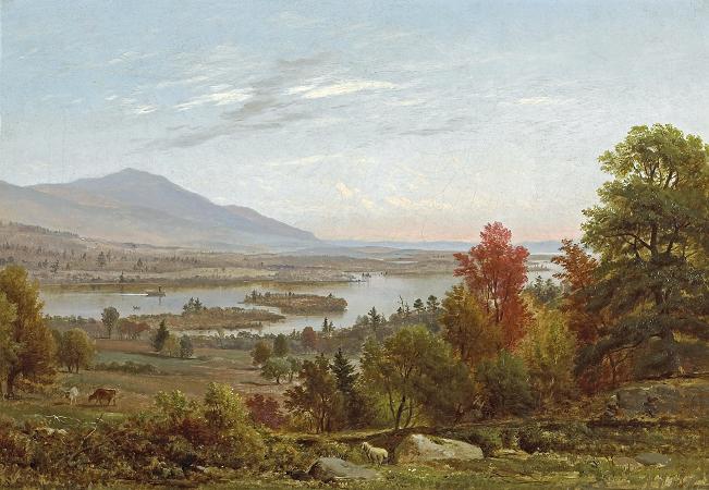
Lake Winnipesaukee. Lake Winnipesaukee is the largest lake in the U.S.
state of New Hampshire, located in the Lakes Region at the foothills of the White Mountains. It is approximately 21 miles long and from 1 to 9 miles wide, covering 69 square miles; 71 square miles when Paugus Bay is included; with a maximum depth of 180 feet.
The center area of the lake is called The Broads. The lake contains at least 264 islands, half of which are less than 0.25 acres in size, and is indented by several peninsulas, yielding a total shoreline of approximately 288 miles.
The driving distance around the lake is 63 miles. It is 504 feet above sea level.
Winnipesaukee is the third-largest lake in New England after Lake Champlain and Moosehead Lake. Outflow is regulated by the Lakeport Dam in Lakeport, New Hampshire, on the Winnipesaukee River. The Abenaki name Winnipesaukee means either smile of the Great Spirit or beautiful water in a high place. At the outlet of the lake, the Winnipesaukee people, a subtribe of the Pennacook, lived and fished at a village called Acquadocton. Today, the site is called The Weirs, named for the weirs that were noted by the colonists when first exploring the region. Lake Winnipesaukee has been a popular tourist destination for more than a century, particularly among residents of Boston and New York City. Winnipesaukee is a glacial lake but an unusual one, since the last glaciation ac
Wikipedia ...