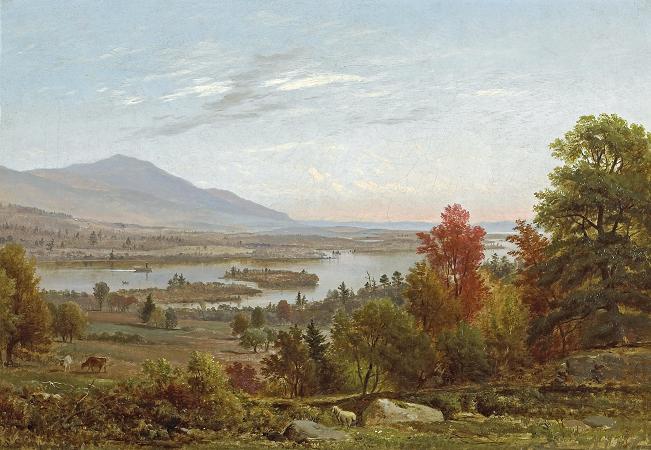
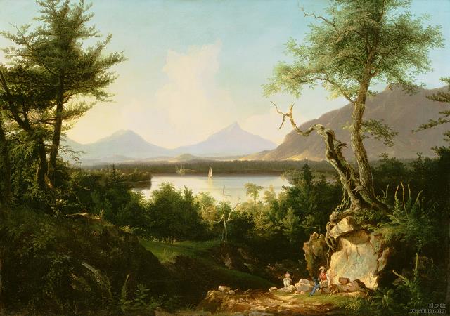
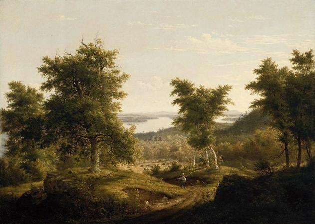
Lake Winnipesaukee. Lake Winnipesaukee is the largest lake in the U.S. state of New Hampshire, located in the Lakes Region at the foothills of the White Mountains. It is approximately 21 miles long and from 1 to 9 miles wide, covering 69 square miles; 71 square miles when Paugus Bay is included; with a maximum depth of 180 feet. The center area of the lake is called The Broads. The lake contains at least 264 islands, half of which are less than 0.25 acres in size, and is indented by several peninsulas, yielding a total shoreline of approximately 288 miles. The driving distance around the lake is 63 miles. It is 504 feet above sea level. Winnipesaukee is the third-largest lake in New England after Lake Champlain and Moosehead Lake. Outflow is regulated by the Lakeport Dam in Lakeport, New Hampshire, on the Winnipesaukee River. The Abenaki name Winnipesaukee means either smile of the Great Spirit or beautiful water in a high place. At the outlet of the lake, the Winnipesaukee people, a subtribe of the Pennacook, lived and fished at a village called Acquadocton. Today, the site is called The Weirs, named for the weirs that were noted by the colonists when first exploring the region. Lake Winnipesaukee has been a popular tourist destination for more than a century, particularly among residents of Boston and New York City. Winnipesaukee is a glacial lake but an unusual one, since the last glaciation actually reversed the flow of its waters. Draining the central portion of New Hampshire, it once flowed southeast, leaving via what is now Alton Bay toward the Atlantic Ocean. When glacial debris blocked this path, flow was redirected westward through Paugus Bay into the Winnipesaukee River. The latter flows west from the lake and joins the Pemigewasset River in Franklin to form the Merrimack River, which flows south to Massachusetts and into the Atlantic. Center Harbor witnessed the first intercollegiate sporting event in the United States, as Harvard defeated Yale by two lengths in the first Harvard-Yale Regatta on August 3, 1852. The outcome was repeated 100 years later when the schools celebrated the centennial of the race by again competing on Lake Winnipesaukee. The communities that surround the lake, clockwise from the southernmost town, are: Alton, the largest town by area in the Lakes Region. Gilford, home to Gunstock Mountain Resort and Bank of New Hampshire Pavilion at Meadowbrook, a popular New Hampshire concert venue. Laconia, the main commercial city on the lake. Included in Laconia is Weirs Beach, the largest public beach on Winnipesaukee. Every year Laconia is home to Bike Week, attracting tens of thousands of motorcyclists to the area. Meredith, a tourist haven on the northwestern reach of the lake. Center Harbor, a small town in Belknap County which serves as the winter home for the MS Mount Washington. Moultonborough, with its Castle in the Clouds, an estate atop a small mountain. Tuftonboro, which contains the communities of Melvin Village and Mirror Lake. Wolfeboro, which bills itself as the Oldest Summer Resort in America. The lake consists of a wide, relatively open central region known as the Broads, surrounded by several large bays, as well as many smaller inlets. The daytime speed limit for boats on the entire lake is 45 miles per hour. The main sections of the lake are: The Broads are a wide portion of Lake Winnipesaukee largely in Belknap County and extending slightly into Carroll County. It is a large island-free zone occupying the center of the lake. Running along the main axis of the lake, the northwestern tip of the Broads is at the town of Center Harbor, while the southeastern end lies between the towns of Alton and Wolfeboro. Meredith Bay lies at the western edge of Winnipesaukee. At the northern tip of Meredith Bay is the main village of the town of Meredith. Paugus Bay branches off to the south of Meredith Bay at Weirs Beach, near to where Meredith Bay joins the main body of the lake. Meredith Bay is separated from the Broads by a relatively narrow strait bordered by Governors Island to the south and Stonedam Island to the north. The northeastern shore of Meredith Bay is a long peninsula known as Meredith Neck. Main article: Paugus Bay Formerly a hydrologically distinct lake, Paugus Bay became joined to Winnipesaukee when the dam at Lakeport was constructed, raising the surface of Paugus Bay to be contiguous with Winnipesaukee. Paugus Bay joins the main lake in Meredith Bay, running south from a narrow channel connecting it to Meredith Bay.