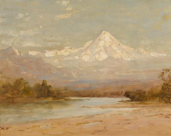
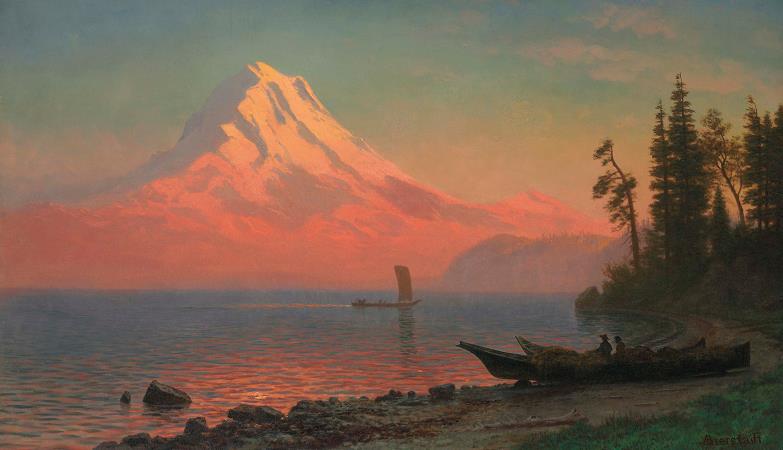
Mount Hood. Mount Hood is a potentially active stratovolcano in the Cascade Volcanic Arc. It was formed by a subduction zone on the Pacific coast and rests in the Pacific Northwest region of the United States. It is located about 50 miles east-southeast of Portland, on the border between Clackamas and Hood River counties. In addition to being Oregon's highest mountain, it is one of the loftiest mountains in the nation based on its prominence, and it offers the only year-round lift-served skiing in North America. The height assigned to Mount Hood's snow-covered peak has varied over its history. Modern sources point to three different heights: 11,249 feet, a 1991 adjustment of a 1986 measurement by the U.S. National Geodetic Survey, 11,240 feet based on a 1993 scientific expedition, and 11,239 feet of slightly older origin. The peak is home to 12 named glaciers and snowfields. It is the highest point in Oregon and the fourth highest in the Cascade Range.Mount Hood is considered the Oregon volcano most likely to erupt,though based on its history, an explosive eruption is unlikely. Still, the odds of an eruption in the next 30 years are estimated at between 3 and 7%, so the U.S. Geological Survey characterizes it as potentially active, but the mountain is informally considered dormant. Timberline Lodge is a National Historic Landmark located on the southern flank of Mount Hood just below Palmer Glacier, with an elevation of about 6,000 feet. The mountain has six ski areas: Timberline, Mount Hood Meadows, Ski Bowl, Cooper Spur, Snow Bunny, and Summit. They total over 4,600 acres of skiable terrain; Timberline, with one lift having a base at nearly 6,940 ft, offers the only year-round lift-served skiing in North America. There are a few remaining shelters on Mount Hood still in use today. Those include the Coopers Spur, Cairn Basin, and McNeil Point shelters as well as the Tilly Jane A-frame cabin. The summit was home to a fire lookout in the early 1900s, however the lookout did not withstand the weather and no longer remains today. Mount Hood is within the Mount Hood National Forest, which comprises 1,067,043 acres of land, including four designated wilderness areas that total 314,078 acres, and more than 1,200 miles of hiking trails. The most northwestern pass around the mountain is called Lolo Pass. Native Americans crossed the pass while traveling between the Willamette Valley and Celilo Falls. While some claim the Multnomah name for Mount Hood was Wy'east, the name was possibly inspired by an 1890 work of white author Frederic Balch, although Balch does not use it himself. In one version of Balch's story, the two sons of the Great Spirit Sahale fell in love with the beautiful maiden Loowit, who could not decide which to choose. The two braves, Wy'east and Pahto, burned forests and villages in their battle over her. Sahale became enraged and smote the three lovers. Seeing what he had done, he erected three mountain peaks to mark where each fell. He made beautiful Mount St. Helens for Loowit, proud and erect Mount Hood for Wy'east, and the somber Mount Adams for the mourning Pahto. There are other versions of the legend. In another telling, Wy'east battles Pahto for the fair La-wa-la-clough. Or again Wy'east, the chief of the Multnomah tribe, competed with the chief of the Klickitat tribe. Their great anger led to their transformation into volcanoes. Their battle is said to have destroyed the Bridge of the Gods and thus created the great Cascades Rapids of the Columbia River. The mountain was given its present name on October 29, 1792 by Lt. William Broughton, a member of Captain George Vancouver's exploration expedition. Lt. Broughton observed its peak while at Belle Vue Point of what is now called Sauvie Island during his travels up the Columbia River, writing, A very high, snowy mountain now appeared rising beautifully conspicuous in the midst of an extensive tract of low or moderately elevated land lying S 67 E., and seemed to announce a termination to the river. Lt. Broughton named the mountain after Samuel Hood, 1st Viscount Hood, a British Admiral at the Battle of the Chesapeake. Lewis and Clark spotted the mountain on October 18, 1805. A few days later at what would become The Dalles, Clark wrote, The pinnacle of the round topped mountain, which we saw a short distance below the banks of the river, is South 43-degrees West of us and about 37 miles. It is at this time topped with snow. We called this the Falls Mountain, or Timm Mountain. Timm was the native name for Celilo Falls. Clark later noted that it was also Vancouver's Mount Hood.
more...


