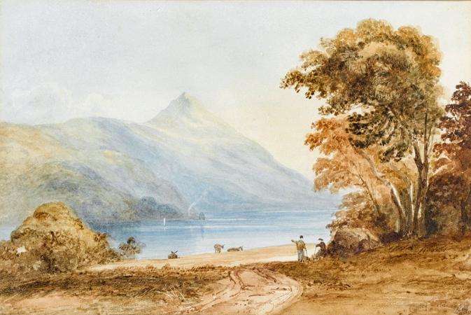
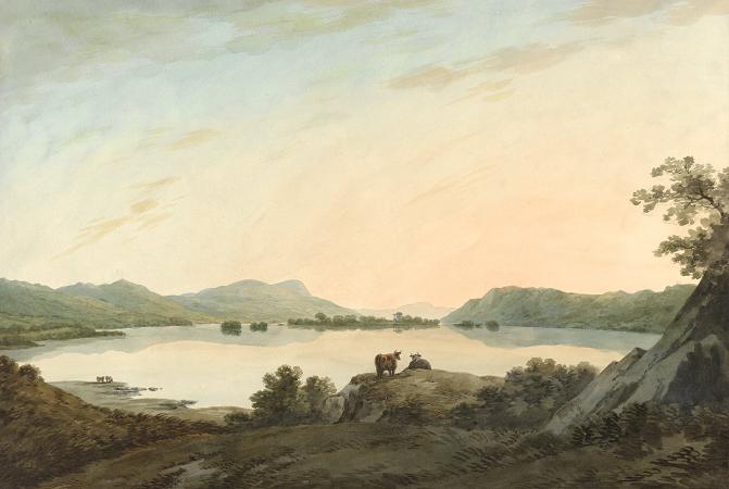
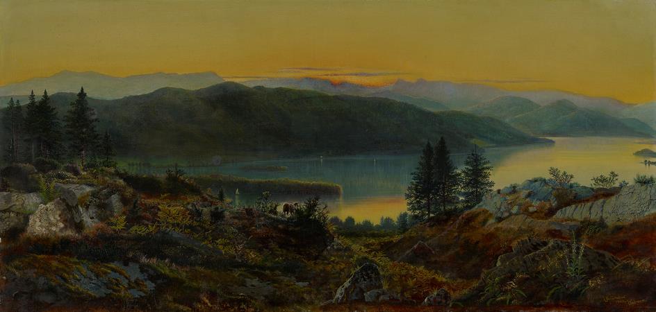
Lake Windermere. Windermere is the largest natural lake in England. It is a ribbon lake formed in a glacial trough after the retreat of ice at the start of the current interglacial period. It has been one of the country's most popular places for holidays and summer homes since the arrival of the Kendal and Windermere Railway's branch line in 1847. Historically forming part of the border between Lancashire and Westmorland, it is now within the county of Cumbria and the Lake District National Park. The word Windermere is thought to translate as Winand or Vinand's lake. The specific has usually been identified with an Old Swedish personal name Vinandr, genitive singular Vinandar. although the personal noun is of very restricted distribution even in Sweden.Since this name could not have been current until the 12th century, the fact that the Old Norse genitive singular -ar- has been added to it, it would suggest that Old Norse was still a living language in the area at that time.Alternative spellings may be Wynhendermere and Wynenderme The second element is Old English mere, meaning lake or pool. It was known as Winander Mere or Winandermere until at least the 19th century. Its name suggests it is a mere, a lake that is broad in relation to its depth, but despite the name this is not the case for Windermere, which in particular has a noticeable thermocline, distinguishing it from typical meres. Until the 19th century, the term lake was, indeed, not much used by or known to the native inhabitants of the area, who referred to it as Windermere/Winandermere Water, or Windermer Watter. The name Windermere or Windermer was used of the parish that had clearly taken its name from the water. The poet Norman Nicholson comments on the use of the phrase Lake Windermere: a certain excuse for the tautology can be made in the case of Windermere, since we need to differentiate between the lake and the town, though it would be better to speak of Windermere Lake and Windermere Town, but no one can excuse such ridiculous clumsiness as Lake Derwentwater and Lake Ullswater. The extensive parish included most of Undermilbeck, Applethwaite, Troutbeck and Ambleside-below-Stock, that is, the part of Ambleside that lay south of Stock Beck. The parish church was at Bowness in Undermilbeck. Windermere is long and narrow, like many other ribbon lakes, and lies in a steep-sided pre-glacial river valley that has become deepened by successive glaciations. The current lake was formed after the Last Glacial Maximum during the retreat of the British and Irish Ice Sheet some time between 17,000 and 14,700 years ago, just before the start of the Windermere Interstadial. The lake water was sourced from the meltwater of retreating ice in the catchment, which receded up the Troutbeck valley and up the valleys that now contain the rivers Rothay and Brathay. There were at least nine ice retreat phases, indicated by buried recessional moraines. The lake has two separate basins-north and south-with different characteristics influenced by the geology. This consists of hard volcanic rocks in the north basin and softer shales in the south. The lake is drained from its southernmost point by the River Leven. It is replenished by the rivers Brathay, Rothay, Trout Beck, Cunsey Beck and several other lesser streams. The lake is largely surrounded by foothills of the Lake District which provide pleasant low-level walks; to the north and northeast are the higher fells of central Lakeland. There is debate as to whether the stretch of water between Newby Bridge and Lakeside at the southern end of the lake should be considered part of Windermere, or a navigable stretch of the River Leven. This affects the stated length of the lake, which is 18.08 km long if measured from the bridge at Newby Bridge, or 16.9 km if measured from Lakeside. The lake varies in width up to a maximum of 1.49 km, and covers an area of 14.73 km 2. With a maximum depth of 66.7 m and an elevation above sea level of 39 m, the lowest point of the lake bed is well below sea level. There is only one town or village directly on the lakeshore, Bowness-on-Windermere, as the village of Windermere does not directly touch the lake and the centre of Ambleside is one mile to the north of Waterhead. The village of Windermere is about 20 minutes' walk from Millerground, the nearest point on the lakeshore. It did not exist before the arrival of the railway in 1847. The station was built in an area of open fell and farmland in the township of Applethwaite.