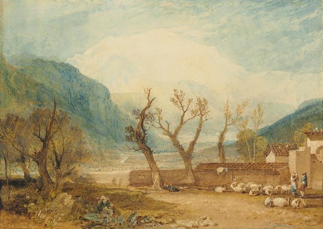
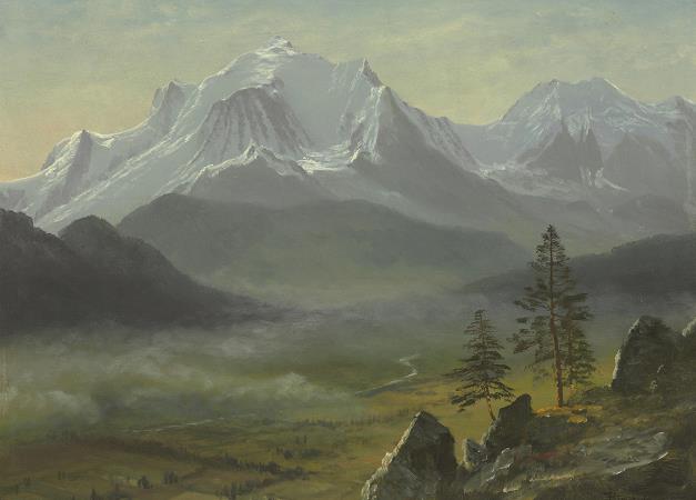
Mont Blanc. Mont Blanc is the highest mountain in the Alps and the highest in Europe west of the Caucasus peaks of Russia and Georgia.It rises 4,808 m above sea level and is ranked 11th in the world in topographic prominence. The mountain stands in a range called the Graian Alps, between the regions of Aosta Valley, Italy, and Savoie and Haute-Savoie, France. The location of the summit is on the watershed line between the valleys of Ferret and Veny in Italy and the valleys of Montjoie, and Arve in France, in the middle of what is generally considered to be the border between the two countries. The Mont Blanc massif is popular for outdoor activities like hiking, climbing, trail running and winter sports like skiing, and snowboarding. The three towns and their communes which surround Mont Blanc are Courmayeur in Aosta Valley, Italy; and Saint-Gervais-les-Bains and Chamonix in Haute-Savoie, France. The latter town was the site of the first Winter Olympics. A cable car ascends and crosses the mountain range from Courmayeur to Chamonix, through the Col du Geant. The 11.6 km Mont Blanc Tunnel, constructed between 1957 and 1965, runs beneath the mountain and is a major trans-Alpine transport route. Since 1760 Swiss naturalist Horace-Benedict de Saussure began to go to Chamonix to observe Mont Blanc. He tried with the Courmayeur mountain guide Jean-Laurent Jordaney, native of Pre-Saint-Didier, who accompanied De Saussure since 1774 on the Miage Glacier and on mont Crammont. The first recorded ascent of Mont Blanc was on 8 August 1786 by Jacques Balmat and the doctor Michel Paccard. This climb, initiated by Horace-Benedict de Saussure, who gave a reward for the successful ascent, traditionally marks the start of modern mountaineering. The first woman to reach the summit was Marie Paradis in 1808. Nowadays the summit is ascended by an average of 20,000 mountaineer-tourists each year. It could be considered a technically easy, yet arduous, ascent for someone who is well-trained and acclimatized to the altitude. From l' Aiguille du Midi, Mont Blanc seems quite close, being 1,000 m higher. But while the peak seems deceptively close, La Voie des 3 Monts route requires much ascent over two other 4,000 m mountains, Mont Blanc du Tacul and Mont Maudit, before the final section of the climb is reached and the last 1,000 m push to the summit is undertaken. Each year climbing deaths occur on Mont Blanc, and on the busiest weekends, normally around August, the local rescue service performs an average of 12 missions, mostly directed to aid people in trouble on one of the normal routes of the mountain. Some routes require knowledge of high-altitude mountaineering, a guide, and all require proper equipment. All routes are long and arduous, involving delicate passages and the hazard of rock-fall or avalanche. Climbers may also suffer altitude sickness, occasionally life threatening, particularly if they do not acclimatize to it. The border between Italy and France passes through the summit of Mont Blanc, making it both French and Italian. Since the French Revolution, the issue of the ownership of the summit has been debated. From 1416 to 1792, the entire mountain was within the Duchy of Savoy. In 1723, the Duke of Savoy, Victor Amadeus II, acquired the Kingdom of Sardinia. The resulting state of Sardinia was to become preeminent in the Italian unification. In September 1792, the French revolutionary Army of the Alps under Anne-Pierre de Montesquiou-Fezensac seized Savoy without much resistance and created a department of the Mont-Blanc. In a treaty of 15 May 1796, Victor Amadeus III of Sardinia was forced to cede Savoy and Nice to France. In article 4 of this treaty it says: The border between the Sardinian kingdom and the departments of the French Republic will be established on a line determined by the most advanced points on the Piedmont side, of the summits, peaks of mountains and other locations subsequently mentioned, as well as the intermediary peaks, knowing: starting from the point where the borders of Faucigny, the Duchy of Aoust and the Valais, to the extremity of the glaciers or Monts-Maudits: first the peaks or plateaus of the Alps, to the rising edge of the Col-Mayor. This act further states that the border should be visible from the town of Chamonix and Courmayeur. However, neither is the peak of the Mont Blanc visible from Courmayeur nor is the peak of the Mont Blanc de Courmayeur visible from Chamonix because part of the mountains lower down obscure them.
more...


