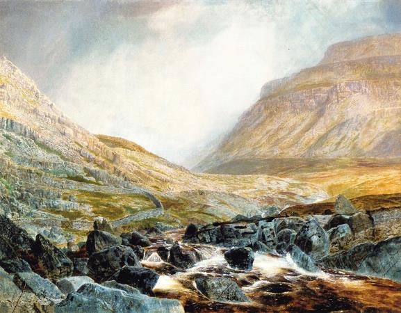
Ingleborough. Ingleborough is the second-highest mountain in the Yorkshire Dales. It is one of the Yorkshire Three Peaks, and is frequently climbed as part of the Three Peaks walk. The first element of the name Ingleborough has been variably explained as a Scots term for 'beacon, fire', an Old Danish term meaning 'English' or a derivative of Old English ing, 'peak'. The second element is derived from the Old English word burh, meaning a fortified place; in this case, a hill fort. On a small relatively flat area just below the top of Ingleborough the remains of an old walled enclosure have been discovered, containing the foundations of Iron Age huts. Ingleborough is in the south-western corner of the Yorkshire Dales, at the highest point of a triangle of land with corners at Ingleton, Ribblehead and Settle. The hill is connected to its nearest higher neighbour, Whernside, by a low col or mountain pass at Ribblehead at approximately 971 feet. Ingleborough throws out a ridge to the north-east which develops into a summit, Simon Fell, and another summit further down, Park Fell. An ill-defined ridge going south-east from the summit breaks into two large areas of limestone plateau at about 1,300 feet; both plateaux contain summits and these are the subsidiary summits of Norber and Moughton. On the slopes of the former are the famed Norber Boulders. Continuing south-east the high land is broken by a divide carrying the minor road from Austwick to Helwith Bridge. On the other side of the divide the low summit of Smearsett Scar rises along with its subsidiaries, Pot Scar and Giggleswick Scar; from here the land falls away to the River Ribble at Settle. On the western side of Ingleborough is a large limestone plateau appropriately known as White Scars. White Scar Caves run for 4 miles below the plateau, and their entrance series has been developed as a show cave. The plateau is bounded by Raven Scar, the longest unbroken cliff in the district, and on top of it is the pothole of Meregill Hole. On the southern side is a similar plateau, containing potholes such as Fluted Hole and Pillar Hole. The plateau to the north of Norber, an area known as The Allotment, is particularly rich in potholes; one of these, Long Kin East, can be followed without specialist caving equipment for 100 yards. Also here is Juniper Gulf, which descends 420 feet underground through an arduous rift, dominated by a small geological fault. The Smearsett Scar region contains the Celtic Wall, the Ebbing and Flowing Well and a glacial hollow known as the Happy Valley. There are several popular hillwalking routes to its summit. The most frequently used starting point is probably the village of Ingleton, about 4 miles to the southwest. An ascent from here is about miles there and back. The route follows a walled lane, Fell Lane, before emerging onto a flat area, Crina Bottom, scattered with potholes including the considerable Quaking Pot. A steep climb through the limestone cliffs leads to the summit. The hill may also be climbed from Horton in Ribblesdale 6 miles to the east, following a route crossing extensive areas of limestone pavement in the region of Sulber Nick. This is the route of descent of the Three Peaks Walk and has been heavily improved by the National Trust, having changed in just thirty years from no path at all to a serious example of footpath erosion. Another route on this flank is from the isolated farmstead of Crummack. There is also a route from Clapham that follows the Ingleborough Estate nature trail, before passing the Craven Fault, the showcave of Ingleborough Cave, the ravine of Trow Gill and the pothole of Gaping Gill. It then crosses a marshy area and climbs up to the shoulder of Little Ingleborough before following the ridge to the summit. The return to Clapham can be varied by taking the Horton-in-Ribblesdale path for 2 miles before striking south through more limestone pavement to the small top of Norber; a descent past the famed Norber erratics finishes a walk of 11.5 miles that Wainwright considered the finest walk in the Yorkshire Dales. An alternative route from the south-west side of the triangle starts at Newby Cote, roughly a mile northwest of Clapham on the minor road heading towards Ingleton. This path proceeds ENE until it joins the main path from Clapham about a mile from the summit. There is a northern route from the Hill Inn at Chapel-le-Dale, the route of ascent used by the Three Peaks Walk and the shortest way up the mountain, being just 3 miles from village to summit.
more...


