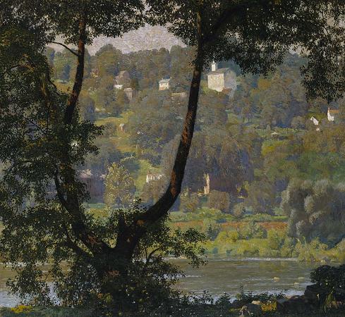
Tohickon Creek. Tohickon Creek is a 29.5-mile-long tributary of the Delaware River. Located entirely in Bucks County, in southeastern Pennsylvania, it rises in Springfield Township and has its confluence with the Delaware at Point Pleasant. It is dammed to form Lake Nockamixon. Prior to European settlement, the area through which the creek runs was inhabited by the Lenape tribe. The area was called Tachan Hoking or Piece of Wood Area Place. It could also mean Achtuhhu Ing or Deers Place. Early white settlers in the area noted the fast, constant current of the creek, and by the late eighteenth century a number of water-powered mills had sprung up along the lower portion of the Tohickon valley. Notable among these was the grist mill of Ralph Stover, in Plumstead Township. During the Great Depression of the 1930s, long after the mill had been shut down, the Stover heirs gave the area around the mill to the Commonwealth of Pennsylvania. After the Federal Works Progress Administration converted the area for recreational use, a Ralph Stover State Park was opened to the public in 1935. The creation of Ralph Stover State Park was the beginning of the Tohickon Creek's shift from an industrial area to a recreational area. The next move in this direction came in 1958, when the United States Army Corps of Engineers dammed the creek just south of Quakertown, forming Tohickon Lake, another state park. It was later renamed Lake Nockamixon, another Lenape name meaning place of soft soil. More and more land along the creek was eventually turned into parkland. The next addition to the park was the High Rocks unit of Ralph Stover State Park, donated to the Commonwealth by the late James Michener, a famous local author. It features vertical rock cliffs above the creek. Today another park, Tohickon Valley County Park, borders High Rocks on three sides and their trail systems interlace. Together they protect the steep valley that Tohickon Creek cuts through the hills south of the old grist mill. The Boy Scouts of America also have a camp located along the creek, Camp Ockanickon, and a few private campgrounds are located along its course. The Tohickon Creek is 29.5 miles long, located entirely within Bucks County, is part of the Delaware River watershed, and drains of 112 square miles. The GNIS I.D. Number is 1189623, the U.S. Department of the Interior stream code is 03110. It meets its confluence at the Delaware's 157.0 river mile. Tohickon Creek is the longest waterway located entirely in Bucks County. Its tortuous course begins in the far north of the county, then generally winds east to the Delaware River. For the purpose of this article, its course can be divided into three main segments: the western half, Lake Nockamixon, and the eastern half. Western course Tohickon Creek begins its journey to the Delaware as a small, nondescript stream in Springfield Township on the slopes of The Lookout. From its source, it heads generally south, straight into Richland Township then Quakertown, the largest settlement along its entire course. It then takes a sharp turn east and for a while forms the boundary between Haycock and East Rockhill Townships. It takes one more turn south before heading into Lake Nockamixon. Along this part of its route, the creek starts off small. Unlike the rest of its course, the ground is relatively flat and rock-free, giving it a slow current and somewhat muddy appearance. Because of the flatness of the area, Tohickon Creek's watershed along its western section is significantly larger than downstream. By the time the creek flows into Lake Nockamixon, it has already met about half of its tributaries. As far as recreation goes, Camp Tohikanee and scenic Sheards Mill and Sheard's Mill Covered Bridge are located along this first part of the creek's route. Lake Nockamixon Almost exactly halfway through its route, the creek forms and runs through Lake Nockamixon. This is the only section of the course of significant distance where it flows northeast. It is about 5 miles from where the stream becomes the lake and the dam where it becomes Tohickon Creek again. Along this distance it forms the boundary between Haycock and Bedminster Townships. As the stream widens into the vast Lake Nockamixon, the current becomes almost undetectable. However, the deep water is by no means stagnant, and tends to stay clean and blue. For the first time along its course, the creek also supports a wide variety of fish, including walleye, pickerel, carp, and various kinds of bass and catfish. This entire part of the route is contained in Nockamixon State Park. As far as recreation goes, boating and fishing are allowed in the lake water, and visitors may stay at park managed campgrounds along the southern shore of the lake or a nearby youth hostel.
more...


