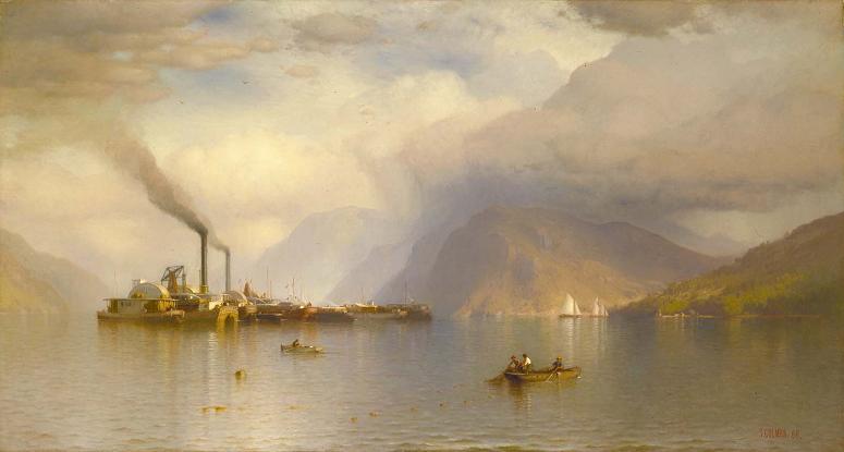
Storm King Mountain. Storm King Mountain is a mountain on the west bank of the Hudson River just south of Cornwall-on-Hudson, New York.
Together with Breakneck Ridge on the opposite bank of the river it forms Wey-Gat or Wind Gate, the picturesque northern narrows of the Hudson Highlands. Its distinctive curved ridge is the most prominent aspect of the view south down Newburgh Bay, from Newburgh, Beacon, and the Newburgh-Beacon Bridge.
It can also be seen by southbound travelers on nearby sections of the New York State Thruway. This view was a popular subject for early artists of the Hudson River School.
While thought of as the highest point in the area, its summit reaching approximately 1,340 feet above sea level, the eastern summit known officially as Butter Hill is actually higher, with an elevation of 1,380 feet. During his initial voyage up the river, Henry Hudson and his crew named the mountain Klinkesberg, due to its wrinkled rock cliffs near the river.
Later, the early Dutch colonists of the region referred to the mountain simply as Boterberg. During the middle of the 19th century, writer Nathaniel Parker Willis, who had become a resident in the region, proposed the name Storm King: The tallest mountain is looked upon as the most sure foreteller of a storm. When the white cloud-beard descends upon his breast in the morning. there is sure to be a rain-storm before night. Standing aloft before
Wikipedia ...