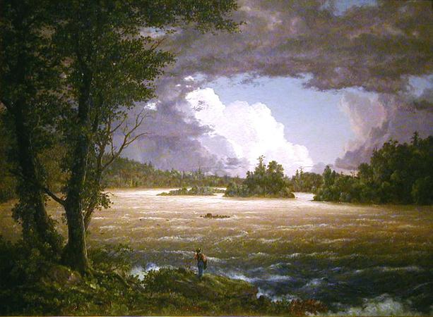
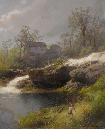
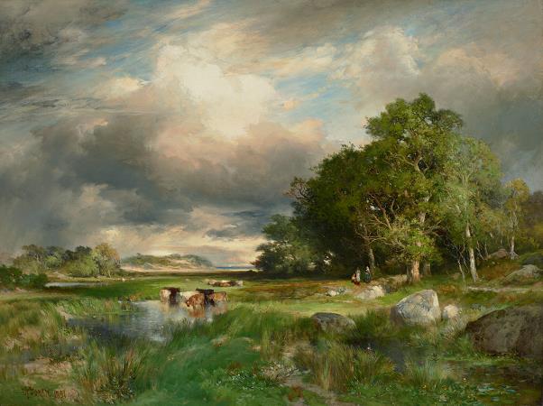
Susquehanna River. The Susquehanna River is a major river located in the northeastern and mid-Atlantic United States. At 444 miles long, it is the longest river on the East Coast of the United States that drains into the Chesapeake Bay. With its watershed, it is the 16th-largest river in the United States, and the longest river in the early 21st-century continental United States without commercial boat traffic. The Susquehanna River forms from two main branches: the North Branch, which rises in Cooperstown, New York, and is regarded by federal mapmakers as the main branch or headwaters, and the West Branch, which rises in western Pennsylvania and joins the main branch near Northumberland in central Pennsylvania. The river drains 27,500 square miles, including nearly half of the land area of Pennsylvania. The drainage basin includes portions of the Allegheny Plateau region of the Appalachian Mountains, cutting through a succession of water gaps in a broad zigzag course to flow across the rural heartland of southeastern Pennsylvania and northeastern Maryland in the lateral near-parallel array of mountain ridges. The river empties into the northern end of the Chesapeake Bay at Perryville and Havre de Grace, Maryland, providing half of the Bay's freshwater inflow. The Chesapeake Bay is the ria of the Susquehanna. The Susquehanna River is one of the oldest existing rivers in the world, being dated as 320-340 Mya, older than the mountain ridges through which it flows. These ridges resulted from the Alleghenian orogeny uplift events, when Africa slammed into the Northern part of EurAmerica. The Susquehanna basin reaches its ultimate outflow in the Chesapeake Bay. It was well established in the flat tidelands of eastern North America during the Mesozoic era about 252 to 66 million years ago. This is the same period when the Hudson, Delaware and Potomac rivers were established. Both branches and the lower Susquehanna were part of important regional transportation corridors. The river was extensively used for muscle-powered ferries, boats, and canal boat shipping of bulk goods in the brief decades before the Pennsylvania Canal System was eclipsed by the coming of age of steam-powered railways. While the railroad industry has been less prevalent since the closures and mergers of the 1950s-1960s, a wide-ranging rail transportation infrastructure still operates along the river's shores. Also called the Main Branch Susquehanna, the longer branch of the river rises at the outlet of Otsego Lake in Cooperstown, New York. From there, the north branch of the river runs west-southwest through rural farmland and dairy country, receiving the Unadilla River at Sidney. It dips south into Pennsylvania briefly to turn sharply north at Great Bend hooking back into New York. It receives the Chenango in downtown Binghamton. After meandering westwards, it turns south crossing the line again through the twin-towns of Waverly, NY-Sayre and their large right bank railyard, once briefly holding the largest structure in the United States devoted to the maintenance and construction of railroad locomotives. A couple miles south, just across the New York state line, in Athens Township in northern Pennsylvania it receives the Chemung from the northwest. It makes a right-angle curve between Sayre and Towanda to cut through the Endless Mountains in the Allegheny Plateau of Pennsylvania. It receives the Lackawanna River southwest of Scranton and turns sharply to the southwest, flowing through the former anthracite industrial heartland in the mountain ridges of northeastern Pennsylvania, past Pittston City, Wilkes-Barre, Nanticoke, Shickshinny, Berwick, Bloomsburg, and Danville. The origin of the official West Branch is near northern Cambria County, Pennsylvania near the contemporary and US Route 219. It travels northeasterly through Curwensville, into and through Clearfield, Pennsylvania, where it's joined by the Clearfield Creek right bank tributary. The Clearfield Creek tributary rises in a Loretto woodlands source spring outflow, initially running northerly while draining the north-face and eastern slopes of the drainage divide crossing athwart the greater pass, the irregular rolling terrain of the several local gaps of the Allegheny, several of which end in the hilly pass around Gallitzin Borough, and Gallitzin Township, Tunnelhill, Cresson area, all above and within the greater Altoona, Pennsylvania area. Clearfield Creek passes through Cresson Lake and bends to flow generally northeast or north-northeast, passing through other tarns and gradually receiving tributary waters along its descending meanders.
more...


