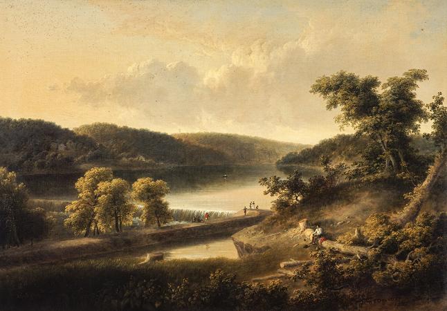
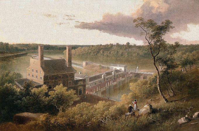
Schuylkill River. The Schuylkill River is a river running northwest to southeast in eastern Pennsylvania, which was improved by navigations into the Schuylkill Canal. Several of its tributaries drain major parts of the center-southern and easternmost Coal Regions in the state. It flows for 135 miles from Pottsville to Philadelphia, where it joins the Delaware River as one of its largest tributaries. In 1682 William Penn chose the left bank of the confluence upon which he founded the planned city of Philadelphia on lands purchased from the native Delaware nation. It is a designated Pennsylvania Scenic River, and its whole length was once part of the Delaware people's southern territories. The river's watershed of about 2,000 sq mi lies entirely within the state of Pennsylvania, the upper portions in the Ridge-and-valley Appalachian Mountains where the folding of the mountain ridges metamorphically modified bituminous into widespread anthracite deposits located north of the Blue Mountain barrier ridge. Originating from waters in the Anthracite Coal Region, millions of tons of coal flowed into Philadelphia, once America's largest city, to feed the iron and steel industry. The source of its eastern branch is in lands now heavily mined situated one ridgeline south of Tuscarora Lake along a drainage divide from the Little Schuylkill about a mile east of the village of Tuscarora and about a mile west of Tamaqua, at Tuscarora Springs in Schuylkill County.Tuscarora Lake is one source of the Little Schuylkill River tributary. The West Branch starts near Minersville and joins the eastern branch at the town of Schuylkill Haven. It then combines with the Little Schuylkill River downstream in the town of Port Clinton. The Tulpehocken Creek joins it at the western edge of Reading. Wissahickon Creek joins it in northwest Philadelphia. Other major tributaries include: Maiden Creek, Manatawny Creek, French Creek, and Perkiomen Creek. The Schuylkill joins the Delaware at the site of the former Philadelphia Navy Yard, now the Philadelphia Naval Business Center, just northeast of Philadelphia International Airport. Main article: List of cities and towns along the Schuylkill River The Leni Lenape were the original inhabitants of the area around this river, which they called Tool-pay Hanna or Tool-pay Hok Ing. The first European explorers of the river were from the Netherlands, Sweden, and England. It was through historical documents called various names, including Manayunk, Manajungh, Manaiunk, and Lenni Bikbi. The Swedish explorer called it Menejackse kill or alternately Skiar kill or the Linde River. The headwaters of the river, up near Reading, was later called Tulpehocken by the English. The river was later given the Dutch name Schuylkill. As kil means creek and schuylen means to hide, skulk or to take refuge, shelter, one explanation given for this name is that it translates to hidden river, skulking river or sheltered creek and refers to the river's confluence with the Delaware River at League Island, which was nearly hidden by dense vegetation. Another explanation is that the name properly translates to hideout creek in one of the Algonquian languages spoken by a Leni Lenape in their confederation. The mighty Susquehannock confederation claimed the area along the Schuylkill as a hunting ground, as they did to the lands down along the Chesapeake Bay to the left bank Potomac River, across from the Powhatan Confederacy when traders first stopped in the Delaware and settlers arrived in the first decade of the 1600s.
more...


