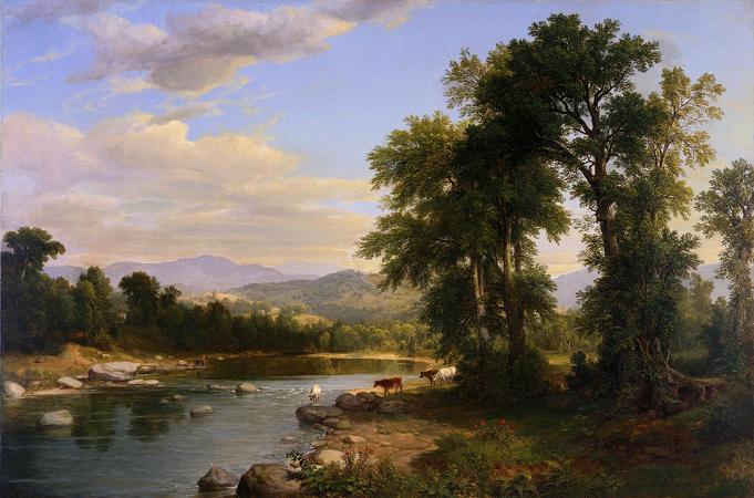
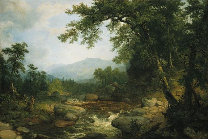
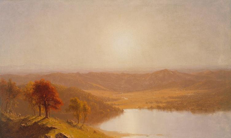
Berkshires. The Berkshires are a highland geologic region located in the western parts of Massachusetts and Connecticut. The term Berkshires is normally used by locals in reference to the portion of the Vermont-based Green Mountains that extend south into western Massachusetts; the portion extending further south into northwestern Connecticut is locally referred to as either the Northwest Hills or Litchfield Hills. Also referred to as the Berkshire Hills, Berkshire Mountains, and Berkshire Plateau, the region enjoys a vibrant tourism industry based on music, arts, and recreation. Geologically, the mountains are a range of the Appalachian Mountains. The Berkshires were named among the 12 Last Great Places by The Nature Conservancy. The term The Berkshires has overlapping but non-identical political, cultural, and geographic definitions. Politically, Berkshire County, Massachusetts, was formed as a governmental unit in 1761. It includes the western extremity of the state, with its western boundary bordering New York and its eastern boundary roughly paralleling the watershed divide separating the Connecticut River watershed from the Housatonic River-Hoosic River watersheds. Culturally, the term Berkshires includes all of the highland region in western Massachusetts west of the Connecticut River and lower Westfield River, and all of northwest Connecticut from the Farmington River valley in the northern part of the state in a diagonal arc west to Winsted and Litchfield, then southwest to Lake Candlewood on the New York border and ending in Ridgefield, Connecticut. The cultural region also includes the Taconic Mountains bordering New York, which are geologically distinct from the Berkshires orogeny. Southwest Vermont and the Taconic region of New York are occasionally grouped with the Berkshires cultural region. Sir Francis Bernard, the royal governor, named the area Berkshire to honor his home county in England. Geologically and physically, the Berkshires are the southern continuation of the Green Mountains of Vermont, distinct from them only by their lower average elevation and by virtue of what side of the border they fall on. In physical geography, the Berkshires extend from the Housatonic River and Hoosic River valleys in western Massachusetts, to the Connecticut River valley in north-central Massachusetts, and to the foot of the lower Westfield River valley in south-central Massachusetts. In Connecticut, where they are referred to as the Litchfield Hills, they extend from the upper Housatonic River valley in the northwest part of the state, south along the western border of the state, east to the Farmington River valley in north-central Connecticut, south to the Quinnipiac River valley in central Connecticut, then southwest to the Housatonic River valley in southwest Connecticut. Geologically, the Berkshires are bordered on the west by the Taconic Mountains, the marble valleys of the Hoosic River and Housatonic River and, further south, by the Hudson Highlands; to the east, they are bordered by the Metacomet Ridge geology. They are on the average 1,000 ft lower and less prominent than the Green Mountains of Vermont, and form a broad, dissected plateau punctuated by hills and peaks and cut by river valleys. The Berkshires topography gradually diminishes in profile and elevation from west to east and from north to south, except where rivers have cut deep gorges and sharp bluff faces into the Berkshire plateau. The Berkshires and related Green Mountains formed over half a billion years ago when Africa collided with North America, pushing up the Appalachian Mountains and forming the bedrock of the Berkshires. Erosion over hundreds of millions of years wore these mountains down to the hills that we see today. The average regional elevation of the Berkshires ranges from about 700 to 1,200 feet. One of the high points is Spruce Mountain, at 2,710 feet. The highest point in the Berkshires physiographic region is Crum Hill, 2,841 feet, in the town of Monroe; however, nearby Mount Greylock of the Taconic Mountains, at 3,491 feet the highest point in the state of Massachusetts, is considered the high point of the Berkshires cultural region. The Housatonic River, Hoosic River, Westfield River, and Deerfield River watersheds drain the Berkshires region in Massachusetts; in Connecticut the main river drainages are the Farmington River, the Naugatuck River, the Shepaug River, and the Housatonic River.