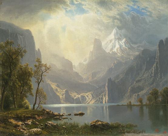
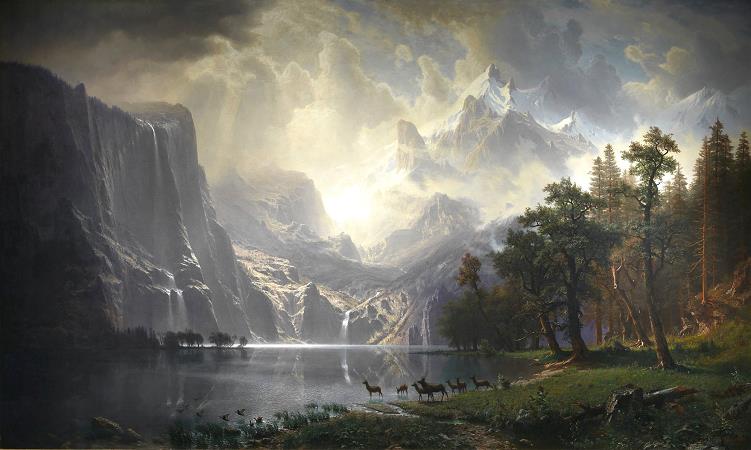
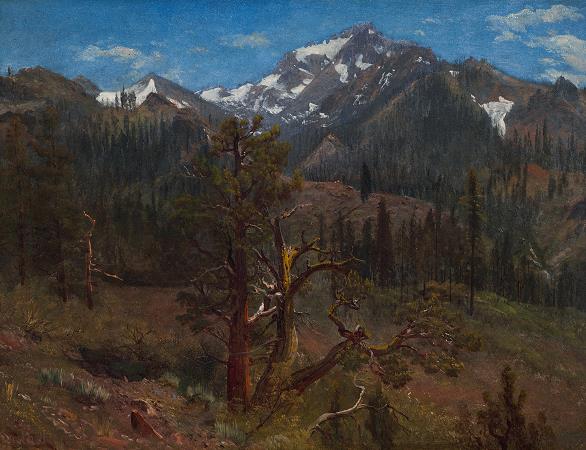
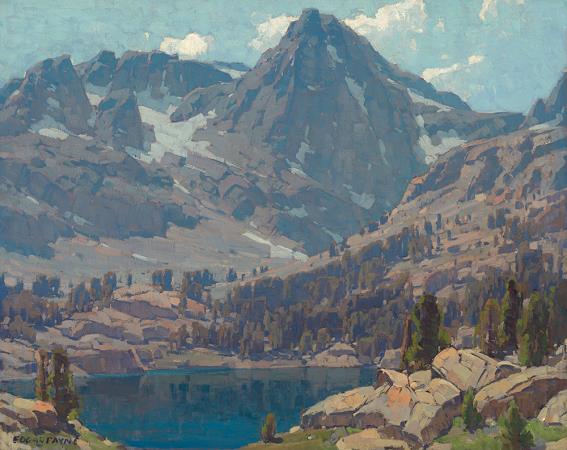
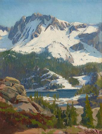
Sierra Nevada. The Sierra Nevada is a mountain range in the Western United States, between the Central Valley of California and the Great Basin. The vast majority of the range lies in the state of California, although the Carson Range spur lies primarily in Nevada. The Sierra Nevada is part of the American Cordillera, a chain of mountain ranges that consists of an almost continuous sequence of such ranges that form the western backbone of North America, Central America, South America and Antarctica. The Sierra runs 400 miles north-to-south, and is approximately 70 miles across east-to-west. Notable Sierra features include Lake Tahoe, the largest alpine lake in North America; Mount Whitney at 14,505 ft, the highest point in the contiguous United States; and Yosemite Valley, sculpted by glaciers from one-hundred-million-year-old granite. The Sierra is home to three national parks, twenty wilderness areas, and two national monuments. These areas include Yosemite, Sequoia, and Kings Canyon National Parks; and Devils Postpile National Monument. The character of the range is shaped by its geology and ecology. More than one hundred million years ago during the Nevadan orogeny, granite formed deep underground. The range started to uplift four million years ago, and erosion by glaciers exposed the granite and formed the light-colored mountains and cliffs that make up the range. The uplift caused a wide range of elevations and climates in the Sierra Nevada, which are reflected by the presence of five life zones. Uplift continues due to faulting caused by tectonic forces, creating spectacular fault block escarpments along the eastern edge of the southern Sierra. The Sierra Nevada has a significant history. The California Gold Rush occurred in the western foothills from 1848 through 1855. Due to inaccessibility, the range was not fully explored until 1912. The Sierra Nevada lies in Central and Eastern California, with a very small but historically important spur extending into Nevada. West-to-east, the Sierra Nevada's elevation increases gradually from 1,000 feet in the Central Valley to heights of about 14,000 feet at its crest 50-75 miles to the east. The east slope forms the steep Sierra Escarpment. Unlike its surroundings, the range receives a substantial amount of snowfall and precipitation due to orographic lift. The Sierra Nevada's irregular northern boundary stretches from the Susan River and Fredonyer Pass to the North Fork Feather River. It represents where the granitic bedrock of the Sierra Nevada dives below the southern extent of Cenozoic igneous surface rock from the Cascade Range. It is bounded on the west by California's Central Valley and on the east by the Basin and Range Province. The southern boundary is at Tehachapi Pass. Physiographically, the Sierra is a section of the Cascade-Sierra Mountains province, which in turn is part of the larger Pacific Mountain System physiographic division. The California Geological Survey states that the northern Sierra boundary is marked where bedrock disappears under the Cenozoic volcanic cover of the Cascade Range. The range is drained on its western slope by the Central Valley watershed, which discharges into the Pacific Ocean at San Francisco. The northern third of the western Sierra is part of the Sacramento River watershed, and the middle third is drained by the San Joaquin River. The southern third of the range is drained by the Kings, Kaweah, Tule, and Kern rivers, which flow into the endorheic basin of Tulare Lake, which rarely overflows into the San Joaquin during wet years. The eastern slope watershed of the Sierra is much narrower; its rivers flow out into the endorheic Great Basin of eastern California and western Nevada. From north to south, the Susan River flows into intermittent Honey Lake, the Truckee River flows from Lake Tahoe into Pyramid Lake, the Carson River runs into Carson Sink, the Walker River into Walker Lake; Rush, Lee Vining and Mill Creeks flow into Mono Lake; and the Owens River into dry Owens Lake. Although none of the eastern rivers reach the sea, many of the streams from Mono Lake southwards are diverted into the Los Angeles Aqueduct which provides water to Southern California. The height of the mountains in the Sierra Nevada increases gradually from north to south. Between Fredonyer Pass and Lake Tahoe, the peaks range from 5,000 feet to more than 9,000 feet. The crest near Lake Tahoe is roughly 9,000 feet high, with several peaks approaching the height of Freel Peak. Farther south, the highest peak in Yosemite National Park is Mount Lyell.
more...

