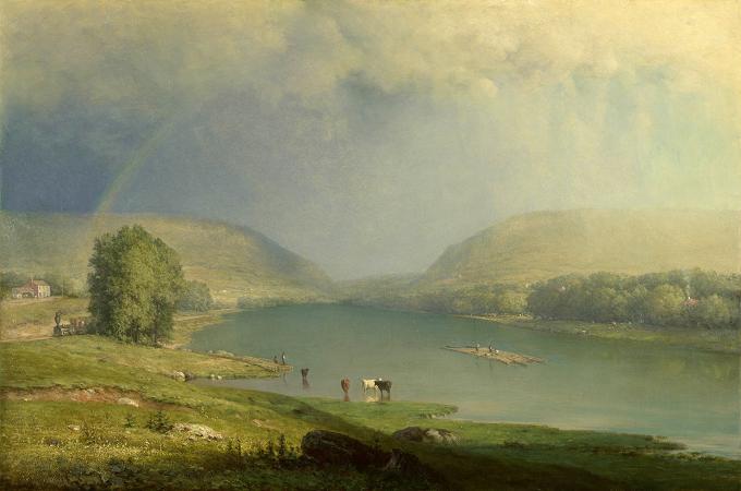
Delaware Water Gap. The Delaware Water Gap is a water gap on the border of the U.S.
states of New Jersey and Pennsylvania where the Delaware River cuts through a large ridge of the Appalachian Mountains. The gap constitutes the southern portion of the Delaware Water Gap National Recreation Area, which is used primarily for recreational purposes, such as rafting, canoeing, swimming, fishing, hiking, and rock climbing.
A water gap is a geological feature where a river cuts through a mountain ridge. The Delaware Water Gap began to form 500 million years ago when quartz pebbles from mountains in the area were deposited in a shallow sea.
The Martinsburg Shale on the eastern side of what was to be Kittatinny Mountain was uplifted 450 million years ago when a chain of volcanic islands collided with proto-North America. These islands slid over the North American plate, and deposited rock on top of plate, forming the Highlands and Kittatinny Valley.
About 400 million years ago, a small, narrow continent collided with proto-North America. The heat from the pressure melted the quartzite, which allowed it to bend the quartz pebbles and Silurian Shawangunk Conglomerate. This layer was then uplifted and cracked over thousands of years. During this period, the Delaware River slowly cut its path down through the shattered and cracked quartzite. If the quartzite had not been cracked, the river would not have been
Wikipedia ...