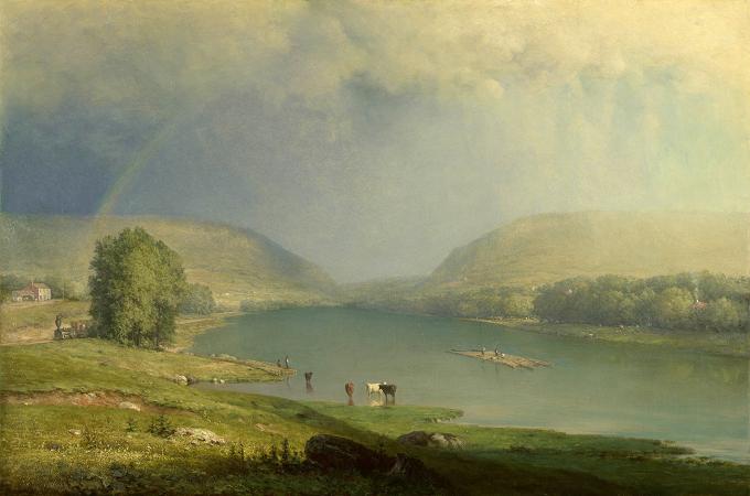
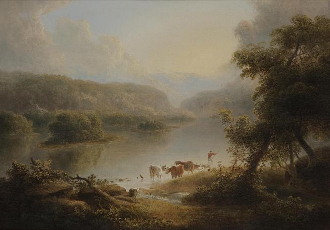
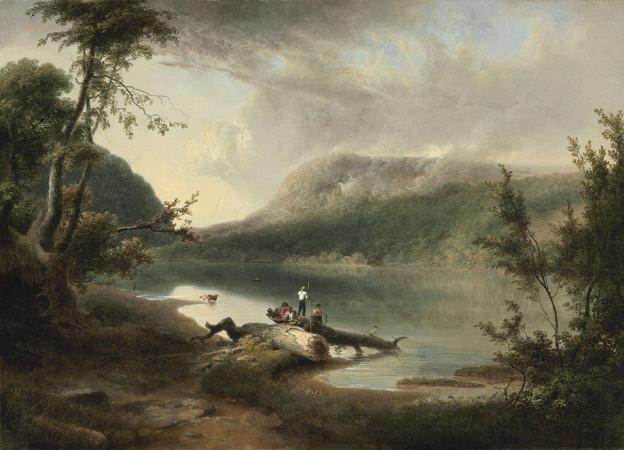
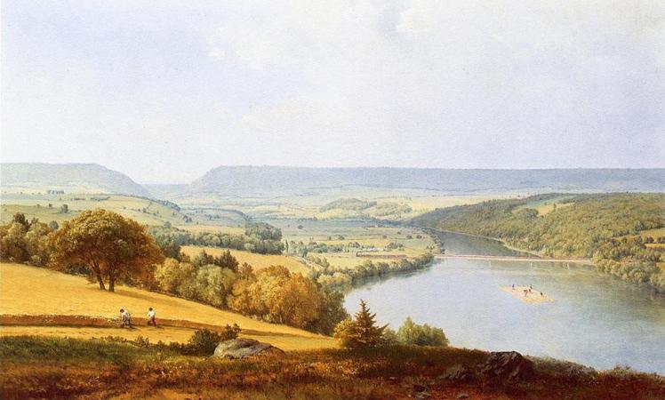
Delaware Water Gap. The Delaware Water Gap is a water gap on the border of the U.S. states of New Jersey and Pennsylvania where the Delaware River cuts through a large ridge of the Appalachian Mountains. The gap constitutes the southern portion of the Delaware Water Gap National Recreation Area, which is used primarily for recreational purposes, such as rafting, canoeing, swimming, fishing, hiking, and rock climbing. A water gap is a geological feature where a river cuts through a mountain ridge. The Delaware Water Gap began to form 500 million years ago when quartz pebbles from mountains in the area were deposited in a shallow sea. The Martinsburg Shale on the eastern side of what was to be Kittatinny Mountain was uplifted 450 million years ago when a chain of volcanic islands collided with proto-North America. These islands slid over the North American plate, and deposited rock on top of plate, forming the Highlands and Kittatinny Valley. About 400 million years ago, a small, narrow continent collided with proto-North America. The heat from the pressure melted the quartzite, which allowed it to bend the quartz pebbles and Silurian Shawangunk Conglomerate. This layer was then uplifted and cracked over thousands of years. During this period, the Delaware River slowly cut its path down through the shattered and cracked quartzite. If the quartzite had not been cracked, the river would not have been able to cut its path through the mountain to form the gap. Millions of years of rain, ice, snow, and wind erosion shaped the area. The Wisconsin glaciation, which occurred between 21,000 B.C. and 13,000 B.C., covered the entire Kittatinny Ridge and ended near Belvidere. When the glaciers retreated, the existing gap assumed its present form. The mountain consists of Silurian Shawangunk conglomerate. This is gray quartzite, which makes the mountain highly resistant to weathering. The Silurian High Fall formation of sandstone is on the western side of the gap near the base. The eastern side of the gap has Ordovician Martinsburg shale. Sedimentary rock is along the river. The Bloomsburg Red Beds, a red shale, are at the gap under Dunsfield Creek. The Delaware Water Gap is about 300 metres across at river level and 1,400 metres wide at the top. The river through the gap is 290 feet above sea level. The ridge of the Appalachians that the Delaware crosses is called the Blue Mountains in Pennsylvania and the Kittatinny Ridge in New Jersey. This is the first major ridge of the Appalachian mountains. The New Jersey mountain is Mount Tammany, named after the Native American Chief Tamanend. The Pennsylvania mountain is Mount Minsi, named after the Native American tribe of the area. The summit of Tammany is 1,540 ft above sea level. A northern deciduous forest cloaks the slopes of the Delaware Water Gap. Hardwood species comprising the forest include various oaks, hickories, maples, ash, elm, cherry, walnut, birch, sycamore, and beech. Coniferous species include Eastern White Pine, Pitch Pine, Eastern Red Cedar, and Eastern Hemlock. Black bear, whitetailed deer, gray squirrels, red squirrels, raccoons, gray fox, fisher, and chipmunks are some of the forest species of the area. Shad migrate up the river through the gap in the spring. Other fish include bass, trout, carp, and walleye. Timber rattlesnakes and copperheads also inhabit the rocky areas of the mountain. Salamanders are found in the moist areas of the forest. Eastern Prickly Pear Cactus also grows on the mountain near the red dot trail on the south eastern facing slope halfway up the mountain. Foot travel was not possible through the Gap on the New Jersey side or Pennsylvania side as steep rock walls went into the river. In 1793 a road was built on the Pennsylvania side of the river. In 1830 a road was built on the New Jersey side through the Gap and north toward Pahaquarry. Interstate 80 passes through the gap on the New Jersey side as of the early 1970s via the Delaware Water Gap Toll Bridge. The Pennsylvania portion of the New Jersey Cut-Off mainline of the Delaware, Lackawanna and Western Railroad comes into Slateford, PA. The Pennsylvania Northeast Regional Rail Authority owns the trackage in the Water Gap area and is operated by the Delaware-Lackawanna Railroad. Pennsylvania Route 611, which is adjacent to the railroad for most of way through the Gap, occupies the right-of-way of a former trolley line. Interstate 80 occupies the former right-of-way of the New York, Susquehanna and Western Railway. In 1962, Congress authorized the building of a dam across the Delaware River at Tocks Island, upstream of the water gap.
more...


